Georgetown in Essex County, Massachusetts — The American Northeast (New England)
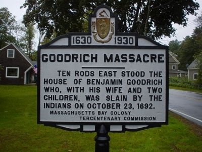
Goodrich Massacre
1630 - 1930
Ten rods east stood the house of Benjamin Goodrich who, with his wife and two children, was slain by the Indians on October 23, 1692
Erected 1930 by Massachusetts Bay Colony-Tercentenary Commission.
Topics and series. This historical marker is listed in these topic lists: Colonial Era • Native Americans • Settlements & Settlers. In addition, it is included in the Massachusetts Bay Colony—Tercentenary Commission Markers series list. A significant historical month for this entry is October 1862.
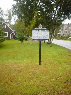
Location. 42° 44.588′ N, 70° 57.55′ W. Marker is in Georgetown, Massachusetts, in Essex County. Marker is on North Street, 0.2 miles north of Meadowview Road when traveling north. This marker is on private property but clearly visible from the driveway. Touch for map. Marker is in this post office area: Georgetown MA 01833, United States of America. Touch for directions.
Other nearby markers. At least 8 other markers are within 4 miles of this marker, measured as the crow flies. Near This Site (approx. 2˝ miles away); First Fulling Mill (approx. 3.1 miles away); a different marker also named Near This Site (approx. 3.1 miles away); America’s First Comb Industry (approx. 3.7 miles away); First Site of the Second Parish Meetinghouse (approx. 3.7 miles away); Site of the Quaker Meetinghouse (approx. 3.8 miles away); Native American Raid (approx. 3.9 miles away); Camp Sylvester (approx. 3.9 miles away).
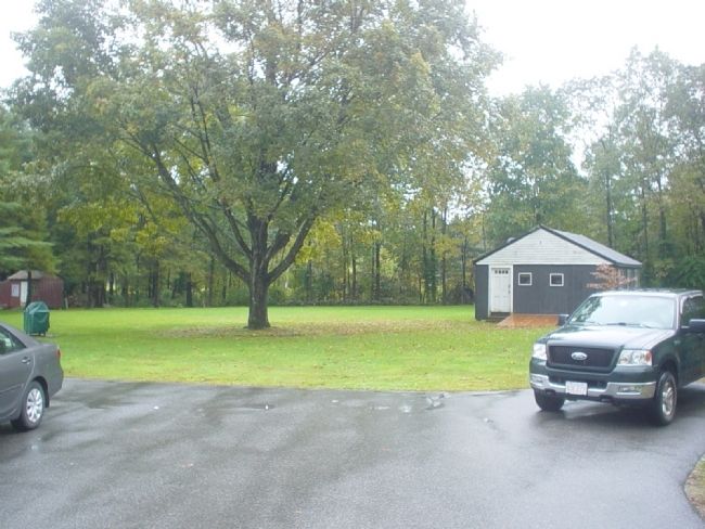
Regarding Goodrich Massacre. For those not carrying their handy-dandy unit conversion slide rule, the distance "Ten rods" is approximately 165.0 feet.
Also see . . . Historical Markers Erected by Massachusetts Bay Colony Tercentenary Commission (1930). Original 1930 publication by the Commonwealth of Massachusetts of Tercentenary Commission Markers, commemorating the three hundredth anniversary of the Massachusetts Bay Colony. (Submitted on October 7, 2011, by Russell Chaffee Bixby of Bernardston, Massachusetts.)
Additional commentary.
1. Massachusetts Bay Colony-Tercentenary Commission marker condition.
This marker is unique amongst the others in the series in that it has been recently removed and refurbished by a local historical society.
— Submitted October 4, 2011, by Michael Tiernan of Danvers, Massachusetts.
Additional keywords.
Massachusetts Bay Colony-Tercentenary Commission
Credits. This page was last revised on November 30, 2021. It was originally submitted on October 4, 2011, by Michael Tiernan of Danvers, Massachusetts. This page has been viewed 2,275 times since then and 279 times this year. Photos: 1, 2, 3. submitted on October 4, 2011, by Michael Tiernan of Danvers, Massachusetts. • Bill Pfingsten was the editor who published this page.


