Newbury in Essex County, Massachusetts — The American Northeast (New England)
Landing Place of First Settlers
1630 - 1930
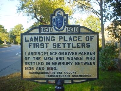
Photographed by Michael Tiernan, October 8, 2011
1. Landing place of first settlers Marker
Erected 1930 by Massachusetts Bay Colony-Tercentenary Commission.
Topics and series. This historical marker is listed in these topic lists: Colonial Era • Exploration • Notable Places • Settlements & Settlers. In addition, it is included in the Massachusetts Bay Colony—Tercentenary Commission Markers series list. A significant historical year for this entry is 1635.
Location. 42° 46.01′ N, 70° 50.742′ W. Marker is in Newbury, Massachusetts, in Essex County. It is on High Road (Alternate Massachusetts Route 1), on the left. Touch for map. Marker is at or near this postal address: 264 High Road, Newbury MA 01951, United States of America. Touch for directions.

Regionally, this marker is on Massachusetts’ North Shore, in Greater Boston, and in the Merrimack Valley. It is also in the American Northeast, in New England, and on the Eastern Seaboard. Globally, it is in the North Atlantic Region, North America, the Western Hemisphere, the Western World, and the Anglosphere. Historically, it
this page online
Other nearby markers. At least 8 other markers are within 4 miles of this marker, measured as the crow flies: Newbury (approx. 1.2 miles away); a different marker also named Newbury (approx. 2.6 miles away); Caleb Cushing House (approx. 3 miles away); Dalton House (approx. 3.1 miles away); Bombshell (approx. 3.2 miles away); The Bartlet Mall (approx. 3.2 miles away); Within Lie Buried (approx. 3.2 miles away); The Memory of the Officers and Men (approx. 3.2 miles away). Touch for a list and map of all markers in Newbury.
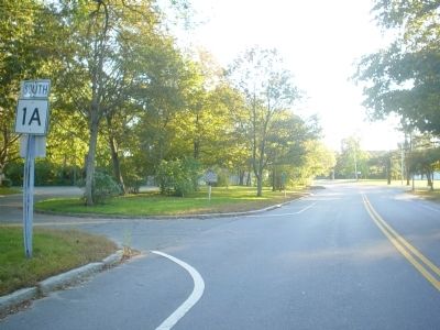
Photographed by Michael Tiernan, October 8, 2011
2. Landing place of first settlers Marker
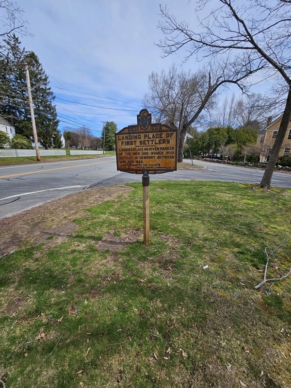
Photographed by Terry Ashmore, April 21, 2024
3. Landing Place of First Settlers Marker
Credits. This page was last revised on April 23, 2024. It was originally submitted on October 9, 2011, by Michael Tiernan of Danvers, Massachusetts. This page has been viewed 2,072 times since then and 73 times this year. Last updated on October 12, 2011, by Russell Chaffee Bixby of Bernardston, Massachusetts. Photos: 1, 2. submitted on October 9, 2011, by Michael Tiernan of Danvers, Massachusetts. 3. submitted on April 21, 2024, by Terry Quattrociocch1 of Gardner, Massachusetts. • Bill Pfingsten was the editor who published this page.
