Medora in Billings County, North Dakota — The American Midwest (Upper Plains)
North Dakota Badlands
Photographed by Michael Stroud, June 1992
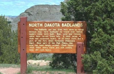
1. North Dakota Badlands Marker
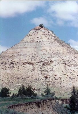
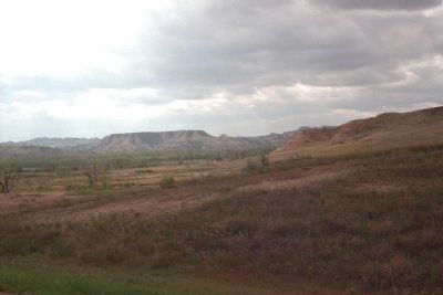
The badlands you see from here were so named because they were "badlands" to travel over before modern roads were built. Rain, wind and running water have carved these hills. A thick series of shale and sandstone layers, all of these rocks are a part of the Fort Union Formation (Paleocene Age). Once part of the High Plains, this area has been deeply eroded. Flash floods which follow every storm are still cutting away the rock layers.
Erected by National Park Service, U.S. Department of the Interior.
Topics. This historical marker is listed in this topic list: Natural Features.
Location. 46° 58′ N, 103° 27′ W. Marker is in Medora, North Dakota, in Billings County. It is on Scenic Loop Drive, on the right when traveling east. located in Medora, just off Interstate 94 (exits 24 & 27) Theodore Roosevelt National Park. Touch for map. Marker is in this post office area: Medora ND 58645, United States of America. Touch for directions.

Regionally, this marker is on the Missouri Plateau. It is also in the American Lewis & Clark Corridor, on the prairies, and on the
this page online
Other nearby markers. At least 8 other markers are within 5 miles of this marker, measured as the crow flies: Building From Hard Times (approx. 1.7 miles away); Beef Corral Bottom (approx. 2.1 miles away); Historic Medora—Boom and Bust (approx. 4.9 miles away); On Track to Adventure (approx. 4.9 miles away); Coal Mining (approx. 5 miles away); St. Mary’s Catholic Church (approx. 5 miles away); Von Hoffman House (approx. 5 miles away); Stephen Tyng Mather (approx. 5 miles away). Touch for a list and map of all markers in Medora.
Other markers no longer nearby. Wind Canyon – Carved by Wind and Water – Marred by Man (was approx. 2.3 miles away but has been confirmed missing); River Woodland (was approx. 4.1 miles away but has been confirmed missing); Historic Medora (was approx. 4.9 miles away but has been permanently removed).
Also see . . .
1. North Dakota's Badlands - North Dakota Notes. Rugged badlands
Photographed by Michael Stroud, June 1992
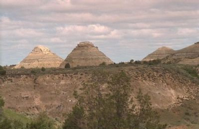
2. Erosion has worn away all but the hardest materials, leaving the maze of buttes and canyons.
2. Theodore Roosevelt National Park - Badlands. National Park Service site for the park. (Submitted on January 19, 2008, by Mike Stroud of Bluffton, South Carolina.)
Photographed by Michael Stroud, June 1992
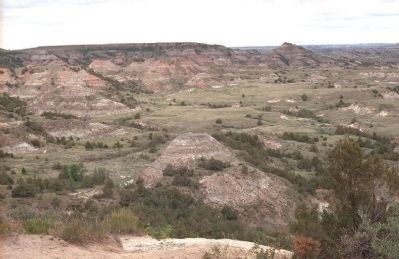
3. Badlands
Photographed by Mike Stroud, June 1992
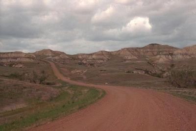
4. North Dakota Badlands
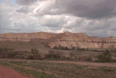
Photographed by Mike Stroud, June 1992
5. North Dakota Badlands
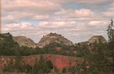
Photographed by Michael Stroud, June 1992
6. North Dakota Badlands
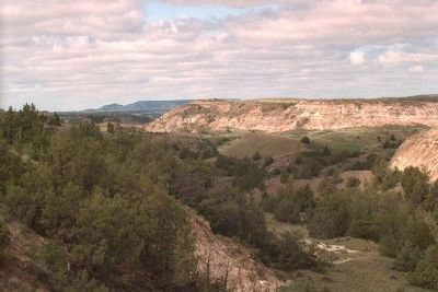
Photographed by Mike Stroud, June 1992
7. North Dakota Badlands
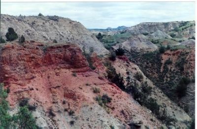
Photographed by Mike Stroud, June 1992
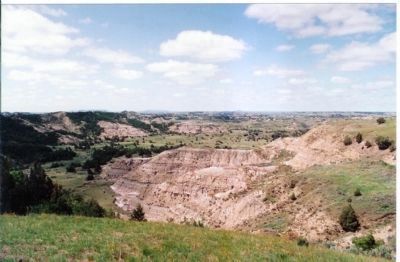
8. Scoria Point
True scoria is volcanic in origin. Locally, however, wherever a seam of coal has caught fire and baked the surrounding sand and clay into a kind of natural brick, it has been named scoria. Over the years erosion has removed the softer earth and left the bluffs capped with this harder, more resistant material.
Photographed by Mike Stroud, June 1992
9. North Dakota Badlands
Photographed by Mike Stroud, June 1992
10. North Dakota Badlands

Photographed by Mike Stroud, June 1992
11. North Dakota Badlands

Photographed by Mike Stroud, June 1992
12. North Dakota Badlands
Photographed by Mike Stroud, June 1992
13. North Dakota Badlands
Photographed by Mike Stroud, June 1992
14. North Dakota Badlands, Bull Bison
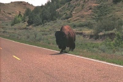
Photographed by Mike Stroud, June 1992
15. Not poetry in motion
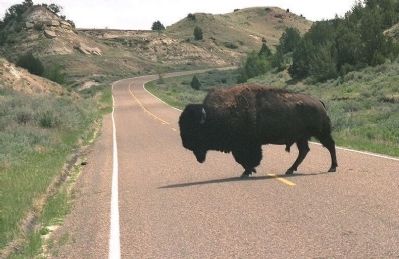
Photographed by Michael Stroud, June 1992
16. Bison have the "Right-of-Way"
Credits. This page was last revised on March 15, 2026. It was originally submitted on January 19, 2008, by Mike Stroud of Bluffton, South Carolina. This page has been viewed 8,491 times since then and 65 times this year. Photos: 1, 2, 3. submitted on January 19, 2008, by Mike Stroud of Bluffton, South Carolina. 4, 5. submitted on April 10, 2010, by Mike Stroud of Bluffton, South Carolina. 6. submitted on January 19, 2008, by Mike Stroud of Bluffton, South Carolina. 7. submitted on April 10, 2010, by Mike Stroud of Bluffton, South Carolina. 8, 9, 10, 11, 12. submitted on August 7, 2009, by Mike Stroud of Bluffton, South Carolina. 13, 14, 15. submitted on April 10, 2010, by Mike Stroud of Bluffton, South Carolina. 16. submitted on January 19, 2008, by Mike Stroud of Bluffton, South Carolina. • Craig Swain was the editor who published this page.
Editor’s want-list for this marker. A wide shot of the marker in context. • Can you help?
