New London in New London County, Connecticut — The American Northeast (New England)
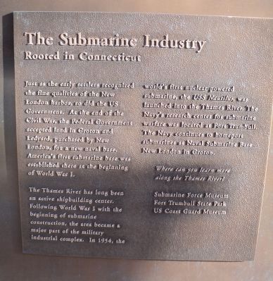
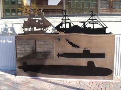
The Submarine Industry
Rooted in Connecticut
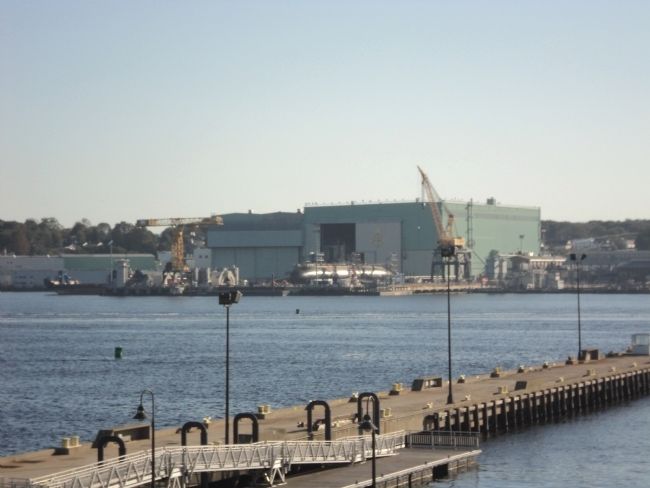
Just as the early settlers recognized the fine qualities of the New London harbor, so did the US Government. At the end of the Civil War, the Federal Government accepted land in Groton and Ledyard, purchased by New London, for a new naval base. America’s first submarine base was established there at the beginning of World War I.
The Thames River has long been an active shipbuilding center. Following World War I with the beginning of submarine construction, the area became a major part of the military industrial complex. In 1954, the world’s first nuclear-powered submarine, the USS Nautilus, was launched into the Thames River. The Navy’s research center for submarine warfare was located at Fort Trumbull. The Navy continues to homeport submarines at Naval Submarine Base New London in Groton.
Topics. This historical marker is listed in these topic lists: Industry & Commerce • Waterways & Vessels. A significant historical year for this entry is 1954.
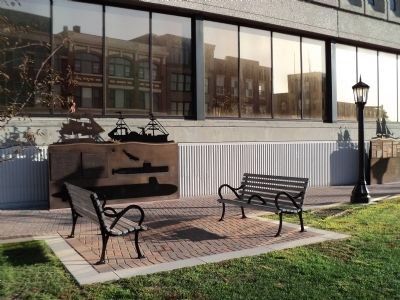
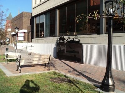
Location. 41° 21.26′ N, 72° 5.657′ W. Marker is in New London, Connecticut, in New London County. Marker is at the intersection of State Street and Bank Street, on the right when traveling west on State Street. Touch for map. Marker is in this post office area: New London CT 06320, United States of America. Touch for directions.
Other nearby markers. At least 8 other markers are within walking distance of this marker. The 19th Century Port (here, next to this marker); The Atlantic Trade (here, next to this marker); The Amistad Incident (here, next to this marker); The Roots of the US Coast Guard (here, next to this marker); Native Americans (a few steps from this marker); 54 State Street (a few steps from this marker); 80 State Street (within shouting distance of this marker); Revolutionary New London (within shouting distance of this marker). Touch for a list and map of all markers in New London.
Credits. This page was last revised on May 6, 2023. It was originally submitted on October 14, 2011, by Bill Coughlin of Woodland Park, New Jersey. This page has been viewed 518 times since then and 9 times this year. Photos: 1, 2, 3, 4, 5. submitted on October 14, 2011, by Bill Coughlin of Woodland Park, New Jersey.
