Stratford in Fairfield County, Connecticut — The American Northeast (New England)
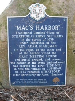
"Macís Harbor"
Traditional Landing Place of Stratfordís First Settlers
In the spring of 1639 under leadership of the Rev. Adam Blakeman
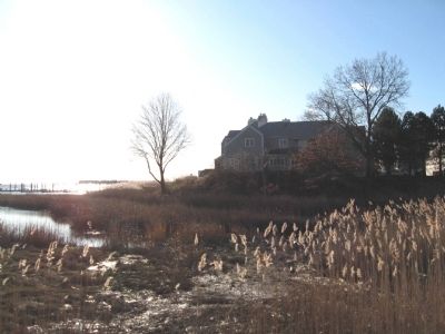
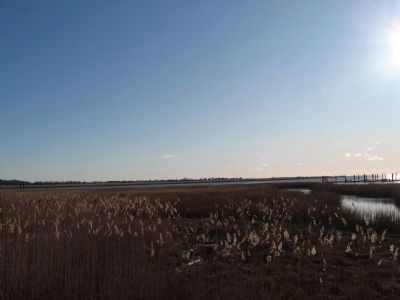
On the right, at the inner end of the harbor stood the First Meeting House and burial ground, and across the harbor at the stone embankment was erected the first Tide Mill in this the village of Cupheag, in 1643 renamed Stratford after Stratford-on-Avon, England
Erected 1970 by Stratford Historical Society, Connecticut Historical Commission.
Topics. This historical marker is listed in these topic lists: Colonial Era • Settlements & Settlers. A significant historical year for this entry is 1639.
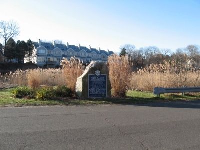
Location. 41° 10.98′ N, 73° 7.577′ W. Marker is in Stratford, Connecticut, in Fairfield County. Marker is on Shore Road, 0.1 miles east of Elm Street, on the right when traveling east. Touch for map. Marker is in this post office area: Stratford CT 06615, United States of America. Touch for directions.
Other nearby markers. At least 8 other markers are within walking distance of this marker. Academy Hill Historic District (approx. 0.4 miles away); Captain David Judson House (approx. 0.4 miles away); Captain John Carpenter (approx. 0.4 miles away); Stratford World War I Memorial (approx. 0.4 miles away); Stratford Disabled American Veterans Memorial (approx. 0.4 miles away); Stratford Veterans Memorial (approx. 0.4 miles away); Stratford Civil War Memorial (approx. 0.4 miles away); Stratford American Revolutionary War Memorial (approx. 0.4 miles away). Touch for a list and map of all markers in Stratford.
Credits. This page was last revised on January 4, 2024. It was originally submitted on December 23, 2009, by Michael Herrick of Southbury, Connecticut. This page has been viewed 1,487 times since then and 77 times this year. Last updated on October 17, 2011, by Michael Tiernan of Danvers, Massachusetts. Photos: 1, 2, 3, 4. submitted on December 23, 2009, by Michael Herrick of Southbury, Connecticut.


