Battle of Plattsburgh Bay
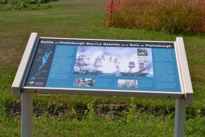
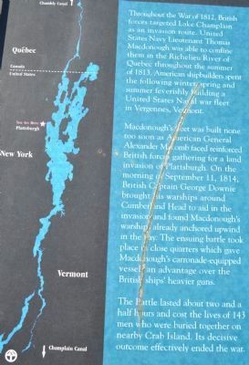
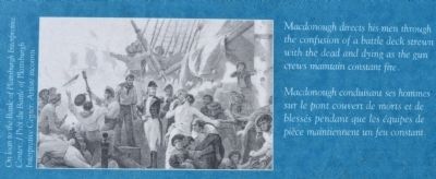
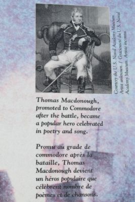
Macdonough's fleet was built none too soon as American General Alexander Macomb faced reinforced British forces gathering for a land invasion of Plattsburgh. On the morning of September 11, 1814, British Captain George Downie brought his warships around Cumberland Head to aid in the invasion and found Macdonough's warships already anchored upwind in the bay. The ensuing battle took place in close quarters which gave Macdonough's carronade-equipped vessels an advantage over the British ships' heavier guns.
The Battle lasted about two and a half hours and cost the lives of 143 men who were buried on nearby Crab Island. Its decisive outcome effectively ended the war.
Erected by Lake Champlain Historic Landings Heritage Trail, Lake Champlain Basin Program.
this page online
Topics. This historical marker is listed in these topic lists: War of 1812 • Waterways & Vessels. A significant historical date for this entry is September 11, 1889.
Location. 44° 41.615′ N, 73° 26.755′ W. Marker is in Plattsburgh, New York, in Clinton County. It can be reached from Hamilton Street close to Club Road, on the right when traveling east. Touch for map. Marker is in this post office area: Plattsburgh NY 12901, United States of America. Touch for directions.

Regionally, this marker is in Upstate New York, in the Adirondacks & North Country, and in the Champlain Valley. It is also in the American Northeast and in the Mid-Atlantic. Globally, it is in North America, the Great North Woods, the Western Hemisphere, the Western World, and the Anglosphere. Historically, it finds itself in what was once the Viceroyalty of New France, New Netherland, and one of the original Thirteen Colonies.
Other nearby markers. At least 8 other markers are within walking distance of this marker: Zephaniah Platt Home (within shouting distance of this marker); Memorial Chapel (approx. ¼ mile away); First Building (approx. 0.3 miles away);
Credits. This page was last revised on June 16, 2016. It was originally submitted on October 17, 2011, by Joe Harness of Little Egg Harbor, New Jersey. This page has been viewed 1,255 times since then and 51 times this year. Photos: 1, 2, 3, 4, 5. submitted on October 17, 2011, by Joe Harness of Little Egg Harbor, New Jersey. • Bill Pfingsten was the editor who published this page.
