Newport in Newport County, Rhode Island — The American Northeast (New England)
The Rocky Shore
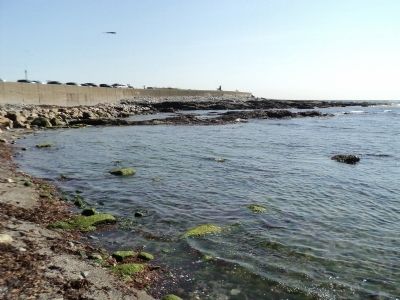
This rocky outcrop is sometimes eroded by waves powerful enough to tear a hole in them. Colonies of small marine animals living on the shore, however, can withstand these forces. Some withdraw into narrow crevices, others attach themselves permanently to the rocks.
These creatures can survive not only the pounding surf at high tide, but also the harsh conditions of life out of water. The retreating tide exposes them to the drying summer sun and the freezing temperatures of winter. On hot summer days, the shells of periwinkles, barnacles, and mussels prevent their body moisture from evaporating. In mid-winter, the water within their bodies can turn to ice, however, as the temperature rises, the ice thaws and these shellfish again become active. The animals living in this intertidal area are alternately exposed to land and marine predators. At low tide, they are vulnerable to birds feeding along the shore. High tide brings carnivorous fish from the sea.
Common periwinkles feed by scraping algae from moist rocks. When the shore is dry, they retreat inside their shells and remain inactive.
At low tide, herring gulls feed on snails and mussels. They carry mussels into the air and drop them onto rocks and pavement to crack open the shells. Gulls are able to break periwinkle shells with their beaks.
Lobsters live farther offshore. Always covered by water, they are protected from winter cold, summer heat, and the drying summer sun.
Blue Mussel
Flexible threads, adhered to a rock by a strong adhesive prevents the blue mussel from being washed away at high tide. The mussel pulls plankton-rich water into its body straining out and eating the plankton.
Barnacles
When just a few weeks old, barnacles cement themselves to rocks. By opening their hinged shells and using their hooked legs as nets, they strain plants and animals called plankton from the water.
Topics. This historical marker is listed in these topic lists: Animals • Waterways & Vessels.
Location. 41° 26.992′ N, 71° 21.235′ W. Marker is in Newport, Rhode Island, in Newport County. Marker is on Ocean Drive, on the right when traveling south. Marker is located in Brenton Point State Park. Touch for map. Marker is in this post office area: Newport RI 02840, United States of America. Touch for directions.
Other nearby markers. At least 8 other markers are within walking distance of this marker. S/V Marques (about 300 feet away, measured in a direct line); RI Pilots of Brenton Reef Pilot Station (about 300 feet away); Portuguese Navigators Monument (about 300 feet away); Portuguese Navigators: Pioneers in Maritime Exploration (about 300 feet away); Brenton Point Maritime Memorial (about 300 feet away); EqyptAir Flight 990 Memorial (about 300 feet away); Brenton Point State Park (about 300 feet away); Missing at Sea May 7, 2007 (approx. 0.2 miles away). Touch for a list and map of all markers in Newport.
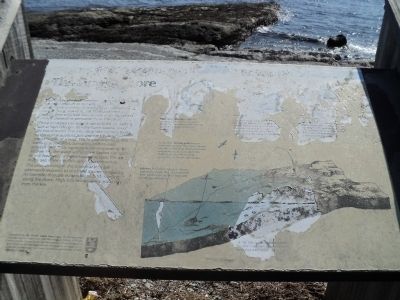
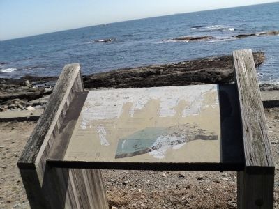
More about this marker. A shoreline scene depicting the creatures mentioned above appears on the marker.
Credits. This page was last revised on June 16, 2016. It was originally submitted on October 17, 2011, by Bill Coughlin of Woodland Park, New Jersey. This page has been viewed 665 times since then and 14 times this year. Photos: 1, 2, 3, 4, 5. submitted on October 17, 2011, by Bill Coughlin of Woodland Park, New Jersey.


