Hastings in Dakota County, Minnesota — The American Midwest (Upper Plains)
Shaping the River
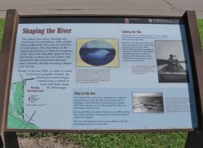
The natural river above Hastings was treacherous for steamboats, with a depth that reached only three and one-half feet in some places. The first efforts of the federal government to improve navigation of the river were wing dams (piles of rock and brush) to direct the river's flow, and closing dams that constricted alternate water channels, thereby scouring a deeper river bottom.
Finally, in the late 1920s, in order to create a nine-foot navigable channel, the federal government began constructing a system of locks and dams along the Mississippi.
Lighting the Way
Wing dams posed a potential danger to boats. Lighting them enabled those traveling along the river to avoid hitting them accidentally.
Members of the Bloomstrand family lit the navigation lamps on the wing dams buoys for 39 years. John Edward Bloomstrand began lighting the buoys in 1895. His wife, Hedda Daniel Bloomstrand, and their children, Walt Bloomstrand and Lillian Bloomstrand Wilson, also held the job until 1934.
Steps to the Sea
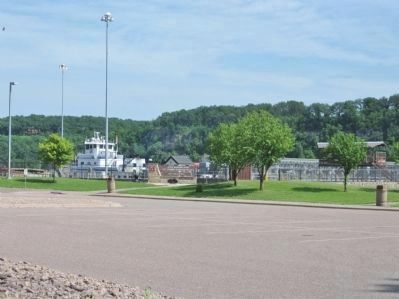
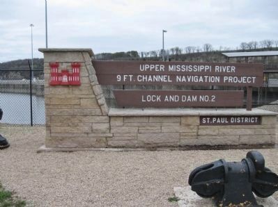
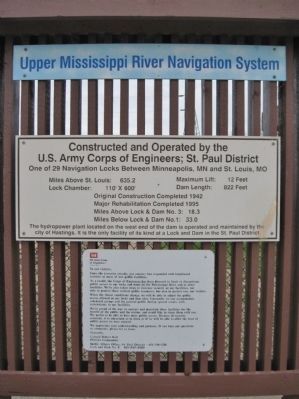
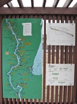
The United States Army Corps of Engineers completed construction on Lock and Dam #2, just upstream of Hastings, in 1930. The dam is the second in a system of 29 locks and dams on the Mississippi River between Minneapolis and St. Louis.
By the mid 1940s, the walls of the lock, over 600 feet long, had settled and tilted. A second lock was built in 1948 to replace the original.
The City of Hastings now has a power plant on the dam, generating electricity by water flow.
Erected by City of Hastings; National Park Service, U.S. Department of the Interior.
Topics and series. This historical marker is listed in these topic lists: Charity & Public Work • Industry & Commerce • Waterways & Vessels. In addition, it is included in the Minnesota Historical Society series list. A significant historical year for this entry is 1895.
Location. 44° 45.425′ N, 92° 52.069′ W. Marker is in Hastings, Minnesota, in Dakota County. Marker is on Lock and Dam Road, 1.2 miles north of 2nd Street West, on the left when traveling north. Marker is along the Hastings Riverfront Trail at Lock and Dam Number 2. Touch for map. Marker is at or near this postal address: 1350 Dam Road, Hastings MN 55033, United States of America. Touch for directions.
Other nearby markers. At least 8 other markers are within 2 miles of this marker, measured as the crow flies. River Habitats (approx. 0.4 miles away); Native Cultures (approx. 0.4 miles away); Enjoying the River (approx. 0.6 miles away); Living in the Water (approx. ¾ mile away); Going with the Flow (approx. 0.9 miles away); Downtown Develops (approx. 1.1 miles away); American Legion Veterans Memorial (approx. 1.1 miles away); Spiral Bridge (approx. 1.1 miles away). Touch for a list and map of all markers in Hastings.
More about this marker. [photo captions, clockwise]
• In this photograph taken by Henry Bosse in 1891, you can see the wing dams placed by the Army Corps of Engineers in the 1880s to constrict the flow into the main channel. The view is from the opposite side of the river, just a little upstream from this location. The completion of Lock and Dam #2 later submerged these wingdams and much of the adjacent floodplain. U.S. Army Corps of Engineers
• Lillian Bloomstrand Wilson lighting the buoy on a wing dam near Nininger in the early 1920s. Her father made the boat she is using in this photograph. City of Hastings
• Commercial barges often carry grain, corn, and soybeans downstream to Louisiana, where they are transferred to ocean freighters. Traveling upstream, barges may be loaded with fertilizer or fuel. Coal is shuttled both upstream and down, on its way to supply power plants across the country. Minnesota Historical Society
Credits. This page was last revised on December 9, 2020. It was originally submitted on October 18, 2011, by Keith L of Wisconsin Rapids, Wisconsin. This page has been viewed 649 times since then and 10 times this year. Photos: 1, 2, 3, 4, 5, 6. submitted on October 18, 2011, by Keith L of Wisconsin Rapids, Wisconsin.
