Near Manteo in Dare County, North Carolina — The American South (South Atlantic)
Fort Huger
May 8, 2007
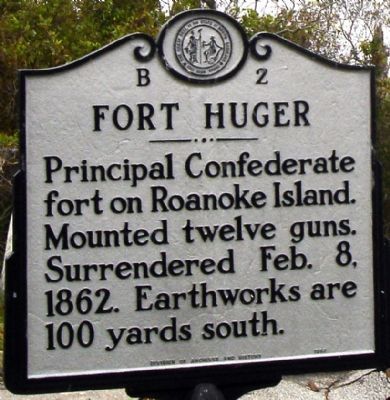
1. Fort Huger Marker
Principal Confederate fort on Roanoke Island. Mounted twelve guns. Surrendered Feb. 8, 1862. Earthworks are 100 yards south.
Erected 1983 by Division of Archives and History. (Marker Number B-2.)
Topics and series. This historical marker is listed in these topic lists: Forts and Castles • War, US Civil. In addition, it is included in the North Carolina Division of Archives and History series list. A significant historical date for this entry is February 8, 1862.
Location. 35° 55.625′ N, 75° 43.416′ W. Marker is near Manteo, North Carolina, in Dare County. It is on U.S. 64/264, on the right when traveling east. Marker is located on Roanoke Island at the US 64/264 boat access ramp at William B. Umstead (Croatan Sound) Bridge. Touch for map. Marker is in this post office area: Manteo NC 27954, United States of America. Touch for directions.

Regionally, this marker is in the Coastal Plain and on the Outer Banks. It is also in the American South, specifically in the Upper South, in the Tidewater, and on the Eastern Seaboard. Globally, it is in the North Atlantic Region, North America, the Western Hemisphere, the Western
this page online
Other nearby markers. At least 8 other markers are within one mile of this marker, measured as the crow flies: Naval Battle of Roanoke Island (within shouting distance of this marker); Fort Blanchard (approx. 0.2 miles away); R. A. Fessenden (approx. 0.3 miles away); The Freedom Trail (approx. 0.9 miles away); First English Colonies (approx. one mile away); Welcome to Fort Raleigh National Historic Site (approx. one mile away); The Elizabethan Gardens (approx. one mile away); Joachim Gans (approx. one mile away). Touch for a list and map of all markers in Manteo.
Other markers no longer nearby. Deliverance (was about 300 feet away, measured in a direct line but has been permanently removed); Bondage (was about 300 feet away but has been permanently removed); The Promised Land (was about 300 feet away but has been permanently removed).
Also see . . .
1. The Battle Of Roanoke Island.
May 8, 2007
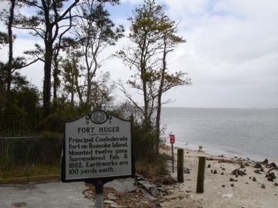
2. Fort Huger Marker
2. More Photos of Fort Huger and Blanchard Sites. From Civil War Album. (Submitted on January 21, 2008, by Craig Swain of Leesburg, Virginia.)
Photographed by Tom Bosse, September 18, 2021
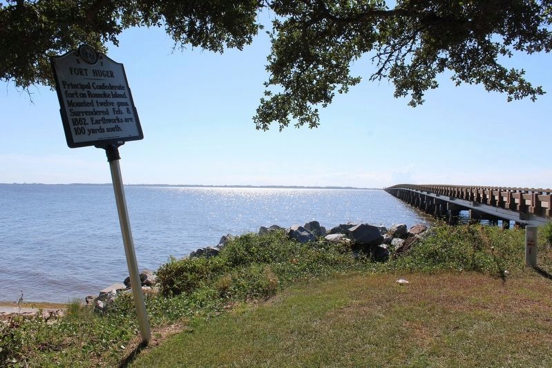
3. Fort Huger Marker
Credits. This page was last revised on March 13, 2022. It was originally submitted on January 20, 2008. This page has been viewed 2,922 times since then and 72 times this year. Photos: 1, 2. submitted on January 20, 2008. 3. submitted on January 22, 2022, by Tom Bosse of Jefferson City, Tennessee. • Craig Swain was the editor who published this page.
