Near Manteo in Dare County, North Carolina — The American South (South Atlantic)
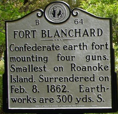
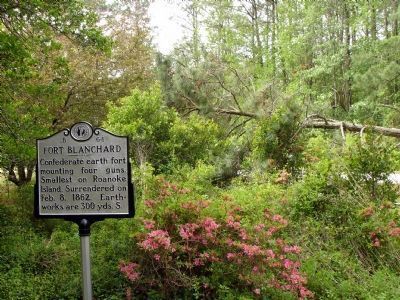
Fort Blanchard
Erected 2000 by North Carolina Office of Archives and History. (Marker Number B-64.)
Topics and series. This historical marker is listed in these topic lists: Forts and Castles • War, US Civil. In addition, it is included in the North Carolina Division of Archives and History series list. A significant historical month for this entry is February 1862.
Location. 35° 55.687′ N, 75° 43.243′ W. Marker is near Manteo, North Carolina, in Dare County. Marker can be reached from U.S. 64/264. Touch for map. Marker is in this post office area: Manteo NC 27954, United States of America. Touch for directions.
Other nearby markers. At least 8 other markers are within walking distance of this marker. First English Colonies (about 500 feet away, measured in a direct line); R. A. Fessenden (about 800 feet away); Naval Battle of Roanoke Island (approx. 0.2 miles away); Fort Huger (approx. 0.2 miles away); Joachim Gans (approx. 0.8 miles away); A Civil War Refuge (approx. 0.9 miles away); A Legacy of Freedom (approx. 0.9 miles away); First Light of Freedom (approx. 0.9 miles away). Touch for a list and map of all markers in Manteo.
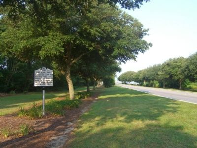
More about this marker. This marker was formerly located at small picnic area and rest stop off of U.S. 64/264 about .25 miles east of the William B. Umstead Memorial Bridge. The rest stop is now closed and the marker moved alongside U.S. 64/264, closer to the Umstead Bridge.
Also see . . .
1. Battle of Roanoke Island. NCpedia entry (Submitted on February 21, 2021, by Larry Gertner of New York, New York.)
2. More Photos of Fort Huger and Blanchard Sites. From Civil War Album. (Submitted on January 21, 2008, by Craig Swain of Leesburg, Virginia.)
Credits. This page was last revised on June 25, 2021. It was originally submitted on January 20, 2008. This page has been viewed 2,021 times since then and 36 times this year. Photos: 1. submitted on January 20, 2008. 2. submitted on July 24, 2008, by Kevin W. of Stafford, Virginia. 3. submitted on January 20, 2008. • Craig Swain was the editor who published this page.


