Belle Fourche in Butte County, South Dakota — The American Midwest (Upper Plains)
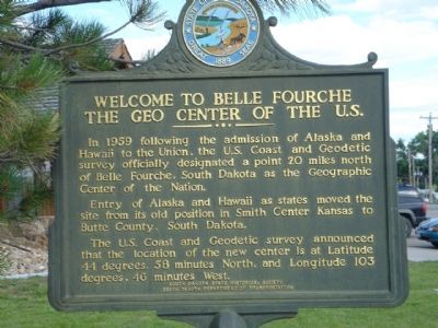
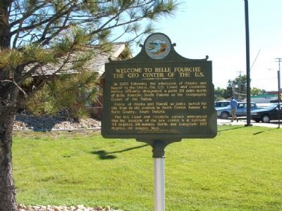
Welcome to Belle Fourche
The Geo Center of the U.S.
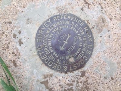
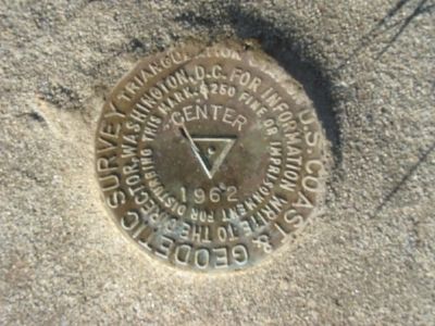
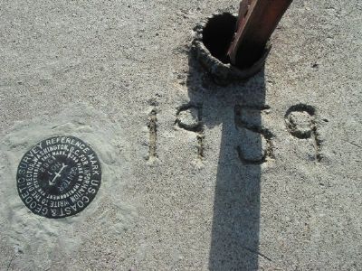
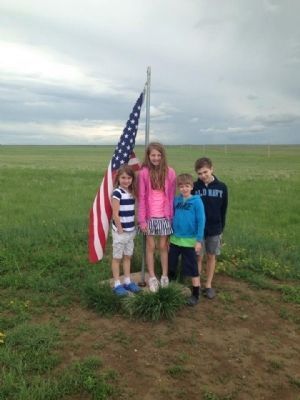
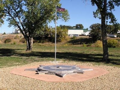
In 1959 following the admission of Alaska and Hawaii to the Union, the U.S. Coast and Geodetic survey officially designated a point 20 miles north of Belle Fourche, South Dakota as the Geographic Center of the Nation.
Entry of Alaska and Hawaii as states moved the site from its old position in Smith Center Kansas to Butte County, South Dakota.
The U.S. Coast and Geodetic survey announced that the location of the new center is at Latitude 44 degrees, 58 minutes North, and Longitude 103 degrees, 46 minutes West.
Erected by South Dakota State Historical Society, South Dakota Department of Transportation.
Topics. This historical marker is listed in these topic lists: Landmarks • Natural Features. A significant historical year for this entry is 1959.
Location. 44° 40.44′ N, 103° 51.186′ W. Marker is in Belle Fourche, South Dakota, in Butte County. Marker is on 5th Ave (U.S. 85) near Edmunds Street, on the right when traveling north. Touch for map. Marker is at or near this postal address: 415 5th Ave, Belle Fourche SD 57717, United States of America. Touch for directions.
Other nearby markers. At least 8 other markers are within walking distance of this marker. The Great Western Cattle Trail (here, next to this marker); Vietnam War Memorial (a few steps from this marker); Butte County War Memorial (a few steps from this marker); Korean War Memorial (a few steps from this marker); "Buckskin Johnny" Spaulding Cabin (within shouting distance of this marker); Belle Fourche (approx. 0.3 miles away); Butte County Jail (approx. 0.4 miles away); Tri-State Area Veterans Memorial (approx. 0.4 miles away). Touch for a list and map of all markers in Belle Fourche.
Related marker. Click here for another marker that is related to this marker. Before this marker was erected, a wooden sign commemorated the Geographic Center.
Credits. This page was last revised on May 29, 2023. It was originally submitted on January 21, 2008, by Kevin W. of Stafford, Virginia. This page has been viewed 8,287 times since then and 183 times this year. Photos: 1. submitted on January 21, 2008, by Kevin W. of Stafford, Virginia. 2. submitted on September 16, 2014, by Michael J. Varanelli of Chantilly, Virginia. 3. submitted on January 21, 2008, by Kevin W. of Stafford, Virginia. 4. submitted on January 8, 2008, by Kevin W. of Stafford, Virginia. 5. submitted on January 6, 2008, by Mike Stroud of Bluffton, South Carolina. 6. submitted on September 16, 2014, by Michael J. Varanelli of Chantilly, Virginia. 7. submitted on January 7, 2008, by Kevin W. of Stafford, Virginia.
