
Manteo in Dare County, North Carolina — The American South (South Atlantic)
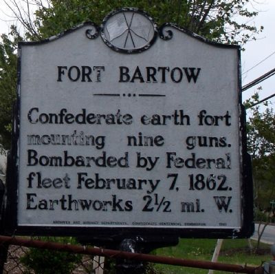
Fort Bartow
May 8, 2007
1. Fort Bartow Marker
Erected 1961 by Archives and Highway Departments, Confederate Centennial Commission. (Marker Number BBB-2.)
Topics and series. This historical marker is listed in these topic lists: Forts and Castles • War, US Civil. In addition, it is included in the North Carolina Division of Archives and History series list. A significant historical date for this entry is February 7, 1868.
Location. 35° 54.727′ N, 75° 40.588′ W. Marker is in Manteo, North Carolina, in Dare County. It is on North Virginia Dare Avenue (U.S. 64/264) south of Barlowe Street, on the right when traveling west. Touch for map. Marker is at or near this postal address: 715 North Virginia Dare Avenue, Manteo NC 27954, United States of America. Touch for directions.

Regionally, this marker is in North Carolina’s Coastal Plain and on the Outer Banks. It is also in the American South, specifically in the Upper South, in the Tidewater, and on the Eastern Seaboard. Globally, it is in the North Atlantic Region, North America, the Western Hemisphere,
this page online
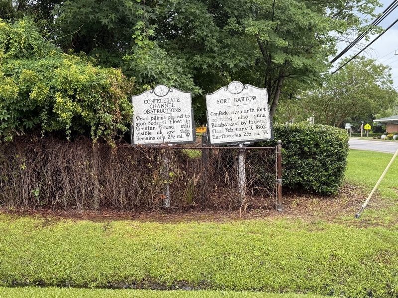
Other nearby markers. At least 8 other markers are within walking distance of this marker: Confederate Channel Obstructions (here, next to this marker); Dare County Veterans Memorial (approx. 0.4 miles away); To Walter Raleigh's Colonists (approx. 0.4 miles away); To Virginia Dare (approx. 0.4 miles away); The Roanoke Colonies (approx. 0.4 miles away); USLSS/USCG Station Pea Island Memorial (approx. half a mile away); Spirit of Roanoke Island (approx. half a mile away); Roanoke Marshes Lighthouse (approx. half a mile away). Touch for a list and map of all markers in Manteo.
Photographed by Devry Becker Jones (CC0), June 13, 2025
2. The Confederate Channel Obstructions and Fort Bartow markers
May 8, 2007
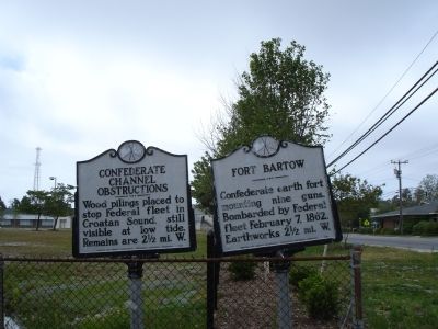
3. Fort Bartow Marker
Credits. This page was last revised on June 22, 2025. It was originally submitted on January 21, 2008. This page has been viewed 2,563 times since then and 34 times this year. Photos: 1. submitted on January 21, 2008. 2. submitted on June 22, 2025, by Devry Becker Jones of Washington, District of Columbia. 3. submitted on January 21, 2008. • Craig Swain was the editor who published this page.
