Rockport in Essex County, Massachusetts — The American Northeast (New England)
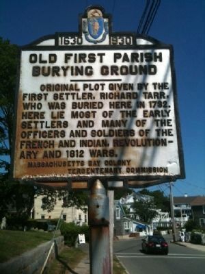
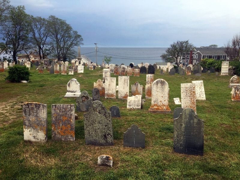
Old First Parish Burying Ground
1630 - 1930
Inscription.
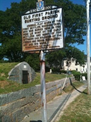
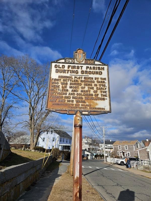
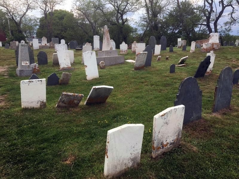
Original plot given by the first settler, Richard Tarr, who was buried here in 1732. Here lie most of the early settlers and many of the officers and soldiers of the French and Indian, Revolutionary and 1812 Wars.
Erected 1930 by Massachusetts Bay Colony-Tercentenary Commission.
Topics and series. This historical marker is listed in these topic lists: Cemeteries & Burial Sites • War of 1812 • War, French and Indian • War, US Revolutionary. In addition, it is included in the Massachusetts Bay Colony—Tercentenary Commission Markers series list. A significant historical year for this entry is 1732.
Location. 42° 39.526′ N, 70° 37.293′ W. Marker is in Rockport, Massachusetts, in Essex County. Marker is on Beach Street, on the right when traveling south. Between King and Main Streets. Touch for map. Marker is in this post office area: Rockport MA 01966, United States of America. Touch for directions.
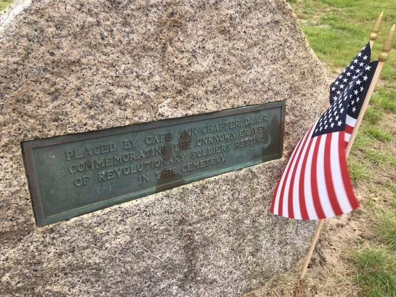
Other nearby markers. At least 8 other markers are within walking distance of this marker. Revolutionary War Unknown Soldiers Grave Marker (a few steps from this marker); John Pool (about 400 feet away, measured in a direct line); First Congregational Church of Rockport Steeple Rehabilitation (about 700 feet away); The First Settlers of Sandy Bay (about 800 feet away); First Settler (approx. 0.2 miles away); Bear Skin Neck (approx. ¼ mile away); Rockport World War I & II Memorial (approx. 0.3 miles away); Harvey Park (approx. 0.3 miles away). Touch for a list and map of all markers in Rockport.
Also see . . .
1. Sandy Bay Historical Society. Website homepage (Submitted on August 8, 2011, by Russell Chaffee Bixby of Bernardston, Massachusetts.)
2. Historical Markers Erected by Massachusetts Bay Colony Tercentenary Commission (1930). Original 1930 publication by the Commonwealth of Massachusetts of Tercentenary Commission Markers, commemorating the three hundredth anniversary of the Massachusetts Bay Colony. (Submitted on August 8, 2011, by Russell Chaffee Bixby of Bernardston, Massachusetts.)
Credits. This page was last revised on April 11, 2024. It was originally submitted on August 8, 2011, by Russell Chaffee Bixby of Bernardston, Massachusetts. This page has been viewed 1,116 times since then and 72 times this year. Last updated on October 26, 2011, by Russell Chaffee Bixby of Bernardston, Massachusetts. Photos: 1, 2. submitted on August 8, 2011, by Russell Chaffee Bixby of Bernardston, Massachusetts. 3. submitted on January 1, 2024, by Terry Ashmore of Gardner, Massachusetts. 4, 5, 6. submitted on April 3, 2024, by Marc Posner of Somerville, Massachusetts. • Bill Pfingsten was the editor who published this page.
