Tiverton in Newport County, Rhode Island — The American Northeast (New England)
Holtís Trail
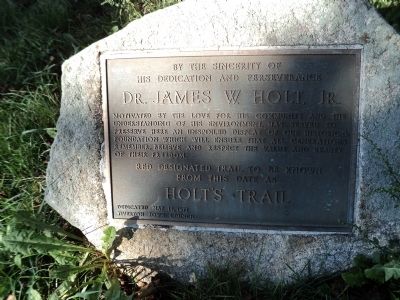
his dedication and perseverance
Dr. James W. Holt, Jr.
motivated by the love for his community and the understanding of his environment, has served to preserve here an unspoiled display of our historical foundation which will ensure that all generations remember, believe and respect the value and beauty of their freedom.
Red designated trail to be known
from this date as
Holtís Trail
Dedicated May 15, 1977
Tiverton Town Council
Erected 1977 by Tiverton Town Council.
Topics. This historical marker is listed in these topic lists: Parks & Recreational Areas • Roads & Vehicles. A significant historical date for this entry is May 15, 1898.
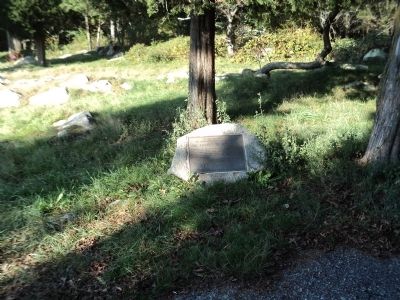
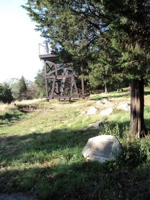
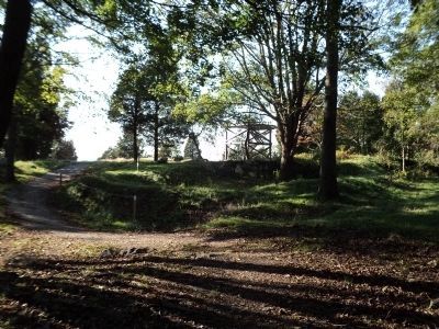
Location. 41° 37.506′ N, 71° 12.415′ W. Marker is in Tiverton, Rhode Island, in Newport County. Marker can be reached from the intersection of Highland Road and Lawton Avenue, on the left when traveling south. Marker is located on a walking trail at Fort Barton, across the street from Tiverton Town Hall. Touch for map. Marker is in this post office area: Tiverton RI 02878, United States of America. Touch for directions.
Other nearby markers. At least 8 other markers are within 4 miles of this marker, measured as the crow flies. Fort Barton (within shouting distance of this marker); a different marker also named Fort Barton (about 300 feet away, measured in a direct line); Portsmouth Compact (approx. 2 miles away); Butts Hill Fort (approx. 2.4 miles away); W 3 R (approx. 2Ĺ miles away); Battle of Rhode Island † 1778 (approx. 2.9 miles away); Garden of New England (approx. 2.9 miles away); Site of the Battle of Rhode Island (approx. 3.1 miles away). Touch for a list and map of all markers in Tiverton.
Credits. This page was last revised on May 8, 2023. It was originally submitted on October 27, 2011, by Bill Coughlin of Woodland Park, New Jersey. This page has been viewed 700 times since then and 9 times this year. Photos: 1, 2, 3, 4, 5. submitted on October 27, 2011, by Bill Coughlin of Woodland Park, New Jersey.


