Near Courtland in Southampton County, Virginia — The American South (Mid-Atlantic)
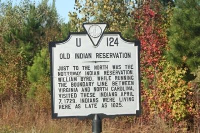
Old Indian Reservation
Erected by Virginia Department of Historic Resources. (Marker Number U-124.)
Topics and series. This historical marker is listed in these topic lists: Colonial Era • Native Americans • Political Subdivisions • Settlements & Settlers. In addition, it is included in the Virginia Department of Historic Resources (DHR) series list. A significant historical date for this entry is April 7, 1729.
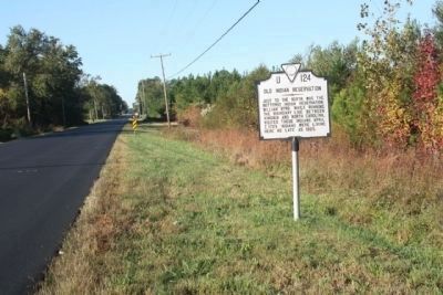
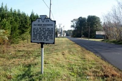
Location. Marker has been reported permanently removed. It was located near 36° 42.753′ N, 77° 5.026′ W. Marker was near Courtland, Virginia, in Southampton County. Marker could be reached from Meherrin Road (Business U.S. 58), on the right when traveling south. Located south of Indian Town Road (State Route 652). Touch for map. Marker was in this post office area: Courtland VA 23837, United States of America.
We have been informed that this sign or monument is no longer there and will not be replaced. This page is an archival view of what was.
Other nearby markers. At least 8 other markers are within 3 miles of this location, measured as the crow flies. Southampton County Veterans Memorial (approx. 0.9 miles away); Mahone’s Tavern (approx. 0.9 miles away); Helping Hand Cemetery (approx. 1.1 miles away); Courtland School — Rosenwald Funded (approx. 1.1 miles away); The Rebecca Vaughan House (approx. 1˝ miles away); Nottoway Indians (approx. 1˝ miles away); Blackhead Signpost Road (approx. 2.6 miles away); Virginia Native Tribes/First Americans (approx. 2.9 miles away). Touch for a list and map of all markers in Courtland.
Credits. This page was last revised on November 22, 2021. It was originally submitted on October 29, 2011, by Mike Stroud of Bluffton, South Carolina. This page has been viewed 948 times since then and 40 times this year. Last updated on November 22, 2021, by Willam Coles of Williamsburg, Virginia. Photos: 1, 2, 3. submitted on October 29, 2011, by Mike Stroud of Bluffton, South Carolina. • Devry Becker Jones was the editor who published this page.


