Oxon Hill in Prince George's County, Maryland — The American Northeast (Mid-Atlantic)
Wheat and Tobacco
Oxon Hill Farm - Oxon Cove Park
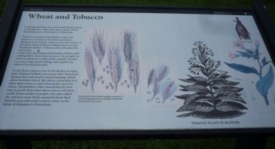
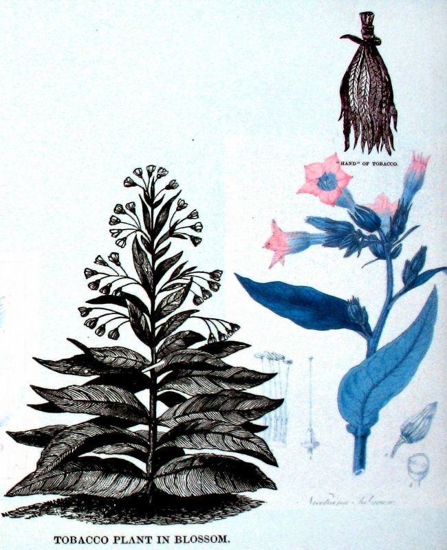
Tobacco was the most valuable crop in the American colonies in the 1600s and 1700s. Planters such as John Addison, an early owner of the farm, made fortunes selling tobacco to the European market. Tobacco also exhausted the soil in just a few years and demanded months of hard painstaking labor from farm workers. To prosper as tobacco planters in Maryland, a family needed to amass large land holdings and exploit the labor of enslaved people.
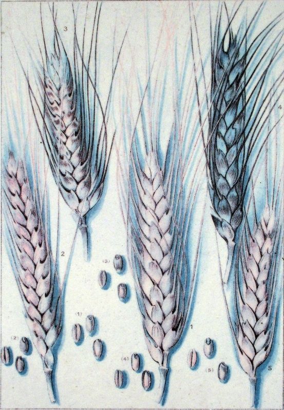
In the 1800s, tobacco was on the decline in Maryland. Samuel DeButts and many other Maryland farmers had switched to mixed farming, which often included wheat. But wheat demanded less labor than tobacco, and reduced the need for slaves. Slaveholders often found that the best way to profit from their slaves was to sell them south. Some enslaved people who once tilled the soil here were likely separated from their families and sold south to pick cotton in the fields of Alabama or Mississippi.
[Five] wheat and tobacco photographs courtesy of Visual Language Library: Antique Botanical Illustrations: 1640-1900.
Erected by National Park Service, U.S. Department of the Interior.
Topics. This historical marker is listed in these topic lists: African Americans • Agriculture • Colonial Era.
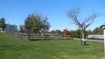
Location. 38° 48.128′ N, 77° 0.497′ W. Marker is in Oxon Hill, Maryland, in Prince George's County. Marker is on Oxon Hill Road west of Bald Eagle Road, on the right when traveling west. Bald Eagle Road is accessible south of the the Capital Beltway (I-95/495) from Oxon Hill Road west of Indian Head Highway (MD 210). Marker is on the grass among the outbuildings southeast of "Mount Welby", once the DeButts family farm house. Touch for map. Marker is at or near this postal address: 6411 Oxon Hill Rd, Oxon Hill MD 20745, United States of America. Touch for directions.
Other nearby markers. At least 8 other markers are within walking distance of this marker. Root Cellar (within shouting distance of this marker); The Burning of Washington, D.C. (within shouting distance of this marker); Mount Welby (within shouting distance of this marker); The DeButts Family Comes to Maryland (within shouting distance of this marker); Why a Brick Stable? (within shouting distance of this marker); Two Centuries of Farm Buildings (about 300 feet away, measured in a direct line); War Comes to Mount Welby
(about 300 feet away); Sweet Sorghum (about 500 feet away). Touch for a list and map of all markers in Oxon Hill.
Additional keywords. Mount Welby House
Credits. This page was last revised on March 3, 2023. It was originally submitted on October 29, 2011, by Richard E. Miller of Oxon Hill, Maryland. This page has been viewed 573 times since then and 20 times this year. Photos: 1. submitted on October 29, 2011, by Richard E. Miller of Oxon Hill, Maryland. 2. submitted on October 30, 2011, by Richard E. Miller of Oxon Hill, Maryland. 3, 4. submitted on December 24, 2016, by Allen C. Browne of Silver Spring, Maryland. • Bill Pfingsten was the editor who published this page.


