Oxon Hill in Prince George's County, Maryland — The American Northeast (Mid-Atlantic)
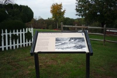
The Burning of Washington, D.C.
Oxon Hill Farm - Oxon Cove Park
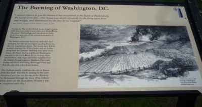
“I cannot express to you the distress it has occasioned at the Battle of Bladensburg. We heard every fire. …Our house was shook repeatedly by the firing upon forts and bridges, and illuminated by the fires in our Capital.”
Mary DeButts, writing to her sister Millicent on March 18, 1815.
During the War of 1812, British troops fought a battle with American soldiers and militia near Bladensburg, Maryland. The battleground was about ten miles from here, just east of the current boundaries of Washington, D.C.
The British routed the American defenders and marched into the city on August 24, 1814. By 9 p.m., the U.S. Capitol was ablaze. Two hours later, British soldiers reached the White House and set it afire, along with the Treasury Building next door. Even closer, the Navy Yard in southwest Washington was put to the torch about 8 p.m. to keep ships, ammunition, sails, rope, and other supplies from the British. President James Madison, First Lady Dolley Madison, and many Washingtonians had fled the city only a few hours before.
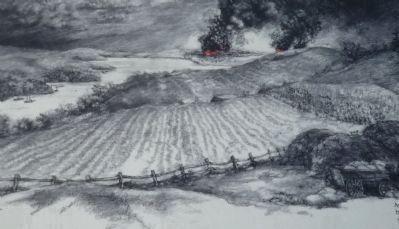
The DeButts family could see the city in flames from this bluff. You will be looking in the same direction if you can see the top of the Washington Monument through the trees. (The DeButts family didn’t see the monument, because it was not completed until 1884.)
Artist’s conception of the burning of Washington seen from Mount Welby, by Billie Rush, 2002
Erected by National Park Service, U.S. Department of the Interior.
Topics and series. This historical marker is listed in these topic lists: War of 1812 • Waterways & Vessels. In addition, it is included in the Former U.S. Presidents: #04 James Madison series list. A significant historical date for this entry is March 18, 1815.
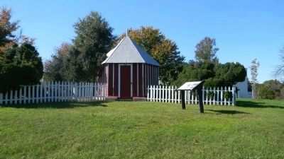
Location. 38° 48.127′ N, 77° 0.518′ W. Marker has been reported damaged. Marker is in Oxon Hill, Maryland, in Prince George's County. Marker can be reached from Oxon Hill Road west of Bald Eagle Road, on the left when traveling west. Marker is south of the Oxon Hill Farm Trail, on the lawn east of the garden house and southeast of the DeButts House, Mount Welby. Bald Eagle Road is accessible south of the the Capital Beltway (I-95/495) from Oxon Hill Road west of Indian Head Highway (MD 210). Touch for map. Marker is at or near this postal address: 6411 Oxon Hill Rd, Oxon Hill MD 20745, United States of America. Touch for directions.
Other nearby markers. At least 8 other markers are within walking distance of this location. Mount Welby (a few steps from this marker); The DeButts Family Comes to Maryland (a few steps from this marker); Wheat and Tobacco (within shouting distance of this marker); Root Cellar (within shouting distance of
this marker); War Comes to Mount Welby (within shouting distance of this marker); Why a Brick Stable? (about 300 feet away, measured in a direct line); Two Centuries of Farm Buildings (about 400 feet away); Rockets on the Hill (about 400 feet away). Touch for a list and map of all markers in Oxon Hill.
More about this marker. The marker has experienced weather damage.
Additional keywords. Royal Navy
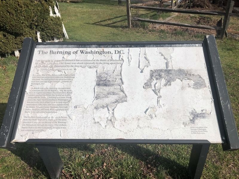
Photographed By Devry Becker Jones (CC0), March 22, 2020
5. The Burning of Washington, D.C. Marker
The marker is shown in its current state.
Credits. This page was last revised on March 3, 2023. It was originally submitted on October 29, 2011, by Richard E. Miller of Oxon Hill, Maryland. This page has been viewed 783 times since then and 30 times this year. Photos: 1, 2, 3. submitted on October 29, 2011, by Richard E. Miller of Oxon Hill, Maryland. 4. submitted on October 30, 2011, by Richard E. Miller of Oxon Hill, Maryland. 5. submitted on March 22, 2020, by Devry Becker Jones of Washington, District of Columbia. • Bill Pfingsten was the editor who published this page.
