St. Francis in Clay County, Arkansas — The American South (West South Central)
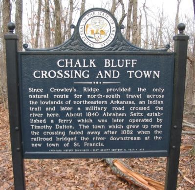
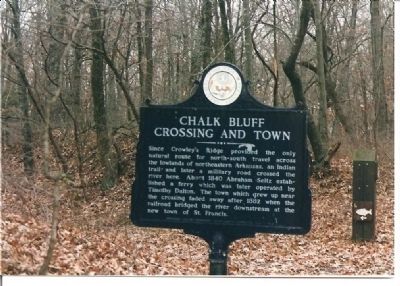
Chalk Bluff Crossing and Town
Erected 1973 by Arkansas History Commission - Clay County Centennial Year.
Topics. This historical marker is listed in these topic lists: Railroads & Streetcars • Roads & Vehicles • Settlements & Settlers. A significant historical year for this entry is 1840.
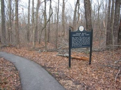
Location. 36° 28.75′ N, 90° 9.744′ W. Marker is in St. Francis, Arkansas, in Clay County. Marker can be reached from County Road 347. Located at the start of a walking trail in Chalk Bluff Battlefield Park. Touch for map. Marker is in this post office area: Piggott AR 72454, United States of America. Touch for directions.
Other nearby markers. At least 5 other markers are within walking distance of this marker. Chalk Bluff in the Civil War (about 400 feet away, measured in a direct line); a different marker also named Chalk Bluff in the Civil War (about 400 feet away); a different marker also named Chalk Bluff in the Civil War (about 400 feet away); Chalk Bluff (about 400 feet away); The Battle at Chalk Bluff (approx. 0.6 miles away in Missouri).

Photographed By Craig Swain
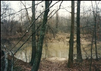
4. Ferry Crossing Site
The town of Chalk Bluff is nothing more than a place name today, but during the 19th century it was an important local crossing point over the St. Francis River. The far side of the river here is Dunklin County, Missouri. Later in May 1863, Confederates were forced to cross the river by way of a rudimentary floating bridge.
Credits. This page was last revised on July 26, 2018. It was originally submitted on January 23, 2008, by Craig Swain of Leesburg, Virginia. This page has been viewed 2,991 times since then and 36 times this year. Photos: 1. submitted on April 20, 2009, by Craig Swain of Leesburg, Virginia. 2. submitted on January 23, 2008, by Craig Swain of Leesburg, Virginia. 3. submitted on April 20, 2009, by Craig Swain of Leesburg, Virginia. 4. submitted on January 22, 2008, by Craig Swain of Leesburg, Virginia.
Editor’s want-list for this marker. Photo of the railroad bridge. • Can you help?


