Near Niagara-on-the-Lake in Niagara Region, Ontario — Central Canada (North America)
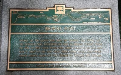
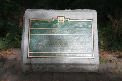
Brown's Point
Erected by The Niagara Park's Commission.
Topics. This historical marker is listed in these topic lists: Colonial Era • Industry & Commerce • War of 1812. A significant historical year for this entry is 1812.
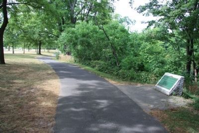
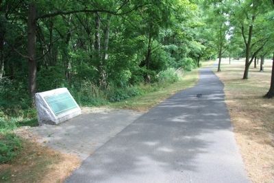
Location. 43° 11.845′ N, 79° 3.274′ W. Marker is near Niagara-on-the-Lake, Ontario, in Niagara Region. Marker is on Niagara Parkway north of Brown's Point Circle, on the left when traveling south. This historical marker is located on the Canadian side of the Niagara River, just north of Queenston, along the Niagara Parkway Recreational Trial, opposite number 15176 on the Niagara River Parkway. Touch for map. Marker is at or near this postal address: 15176 Niagara Parkway, Niagara-on-the-Lake ON L0S 1J0, Canada. Touch for directions.
Other nearby markers. At least 8 other markers are within 3 kilometers of this marker, measured as the crow flies. A different marker also named Brown's Point (approx. 0.4 kilometers away); The Field House (approx. half a kilometer away); British Landing (approx. 1.1 kilometers away in the U.S.); Chloe Cooley and the 1793 Act to Limit Slavery in Upper Canada (approx. 1.3 kilometers away); Grand View (approx. 1.8 kilometers away in the U.S.); Vrooman's Battery (approx. 2.2 kilometers away); Joseph-Geneviere, Comte de Puisaye (approx. 2.2 kilometers away); Freedom Crossing Monument (approx. 2.7 kilometers away in the U.S.). Touch for a list and map of all markers in Niagara-on-the-Lake.
Credits. This page was last revised on September 27, 2019. It was originally submitted on November 5, 2011, by Dale K. Benington of Toledo, Ohio. This page has been viewed 1,010 times since then and 57 times this year. Photos: 1, 2, 3, 4. submitted on November 8, 2011, by Dale K. Benington of Toledo, Ohio.


