Marker Logo HMdb.org THE HISTORICAL
MARKER DATABASE
“Bite-Size Bits of Local, National, and Global History”
James Bay in Victoria in Capital, British Columbia — Canada’s West Coast (North America)
 

Finlayson Point


Finlayson Point Marker image. Click for full size.
Photographed By Barry Swackhamer, September 15, 2011
1. Finlayson Point Marker
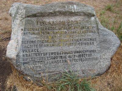
Inscription. Named after Roderick Finlayson Chief – Factor Hudson’s Bay Company at Victoria 1844 – 1872. Before the arrival of white men this was the site of an ancient fortified Indian Village. A battery of two 64 pound wrought iron rifled guns stood here 1878 – 1892 for protection against an expected Russian invasion.
 
Topics. This historical marker is listed in these topic lists: Forts and CastlesNative Americans. A significant historical year for this entry is 1844.
 
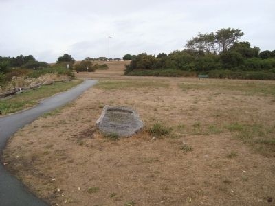
Location. 48° 24.438′ N, 123° 21.857′ W. Marker is in Victoria, British Columbia, in Capital. It is in James Bay. Marker can be reached from Dallas Road. This marker located on the the ocean-side bluff trail in Beacon Hill Park. Touch for map. Marker is in this post office area: Victoria BC V8V, Canada. Touch for directions.
 
Other nearby markers. At least 8 other markers are within walking distance of this marker. Twinning of Morioka, Japan and Victoria (about 150 meters away, measured in a direct line); Miss Marilyn Bell (about 180 meters away); Beacon Hill (about 210 meters away); Signs of Lekwungen (approx. 0.3 kilometers away); Beacon Hill Park (approx. 0.3 kilometers away); World’s Tallest Totem Pole (approx. 0.3 kilometers away); British Columbia Indians World Wars Memorial (approx. 0.4 kilometers away); "Tomorrow Run 91" (approx. 0.4 kilometers away). Touch for a list and map of all markers in Victoria.
 
Paid Advertisement
Click on the ad for more information.
Please report objectionable advertising to the Editor.
Click or scan to see
this page online
Finlayson Point Marker image. Click for full size.
Photographed By Barry Swackhamer, September 15, 2011
2. Finlayson Point Marker
Finlayson Point Marker image. Click for full size.
Photographed By Barry Swackhamer, September 15, 2011
3. Finlayson Point Marker
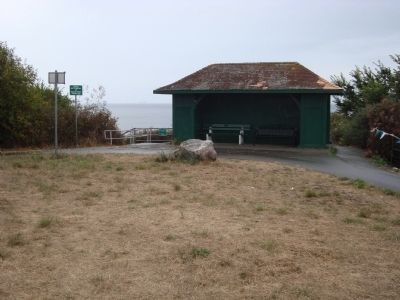
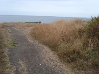
Finlayson Point image. Click for full size.
Photographed By Barry Swackhamer, September 15, 2011
4. Finlayson Point
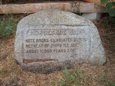
A Nearby 'Marker' - Horseshoe Bay image. Click for full size.
Photographed By Barry Swackhamer, September 15, 2011
5. A Nearby 'Marker' - Horseshoe Bay
"Note rocks glaciated during retreat of third Ice Age about 10,000 years ago."
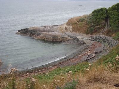
Horseshoe Bay image. Click for full size.
Photographed By Barry Swackhamer, September 15, 2011
6. Horseshoe Bay
 
 
Credits. This page was last revised on February 16, 2023. It was originally submitted on November 6, 2011, by Barry Swackhamer of Brentwood, California. This page has been viewed 1,160 times since then and 53 times this year. Photos:   1, 2, 3, 4, 5, 6. submitted on November 6, 2011, by Barry Swackhamer of Brentwood, California. • Bill Pfingsten was the editor who published this page.
Share this page.  
Share on Tumblr
m=49244

CeraNet Cloud Computing sponsors the Historical Marker Database.
This website earns income from purchases you make after using our links to Amazon.com. We appreciate your support.
Paid Advertisement
Apr. 23, 2024