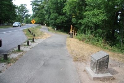
Near Niagara-on-the-Lake in Niagara Region, Ontario — Central Canada (North America)
Brown's Point
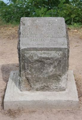
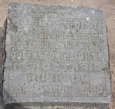
Here Gen. Sir Isaac Brock
called out on his way to
Queenston Heights
13th October 1812
"Push On
York Volunteers."
Erected 1915 by the Niagara Historical Society.
Topics. This historical marker is listed in this topic list: War of 1812. A significant historical date for this entry is October 13, 1812.
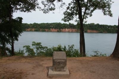
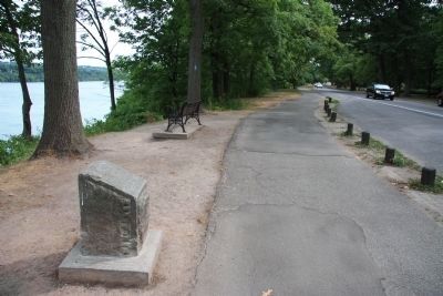
Location. 43° 11.626′ N, 79° 3.23′ W. Marker is near Niagara-on-the-Lake, Ontario, in Niagara Region. Marker is on Niagara Parkway just south of Brown's Point Circle, on the left when traveling south. This historical marker is located on the Canadian side of the Niagara River, just north of Queenston, along the Niagara Parkway Recreational Trial. Touch for map. Marker is in this post office area: Niagara-on-the-Lake ON L0S 1J0, Canada. Touch for directions.
Other nearby markers. At least 8 other markers are within 3 kilometers of this marker, measured as the crow flies. A different marker also named Brown's Point (approx. 0.4 kilometers away); Chloe Cooley and the 1793 Act to Limit Slavery in Upper Canada (approx. 0.9 kilometers away); The Field House (approx. 0.9 kilometers away); British Landing (approx. 1.3 kilometers away in the U.S.); Vrooman's Battery (approx. 1.8 kilometers away); Grand View (approx. 2.2 kilometers away in the U.S.); Freedom Crossing Monument (approx. 2.3 kilometers away in the U.S.); a different marker also named Freedom Crossing Monument (approx. 2.3 kilometers away in the U.S.). Touch for a list and map of all markers in Niagara-on-the-Lake.
Credits. This page was last revised on September 27, 2019. It was originally submitted on November 13, 2011, by Dale K. Benington of Toledo, Ohio. This page has been viewed 658 times since then and 24 times this year. Photos: 1, 2, 3, 4, 5. submitted on November 18, 2011, by Dale K. Benington of Toledo, Ohio.
