Dublin in Laurens County, Georgia — The American South (South Atlantic)
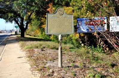
Jefferson Davis
At dawn, Harnden began a pursuit. After many difficulties, he reached Abbeville (50 miles SW) close behind his quarry. There, he met the 4th Michigan Cavalry [US], Lt. Col. B. D. Pritchard, and, after briefing Pritchard, continued his pursuit of Mr. Davis.
Pritchard, bound down-river to intercept other Confederate officials, rode on some 12 miles; then, abandoning his own mission, he made a forced march and, finding the Davis camp by posing as the escort, he surrounded it quietly and waited for dawn.
Unaware of his presence, Harnden moved up before dawn to surround the camp. His advance was fired upon and, in the fight that followed, two Michigan soldiers were killed before a prisoner taken by Harndenís men revealed the identity of the “enemy.”
During this unfortunate collision, Pritchard closed in and captured Mr. Davis and his party, thereafter claiming for the 4th Michigan the fruits of the 1st Wisconsinís labors.
Erected 1957 by Georgia Historical Commission. (Marker Number 087-4.)
Topics and series. This historical marker is listed in this topic list: War, US Civil. In addition, it is included in the Georgia Historical Society series list. A significant historical month for this entry is May 1850.
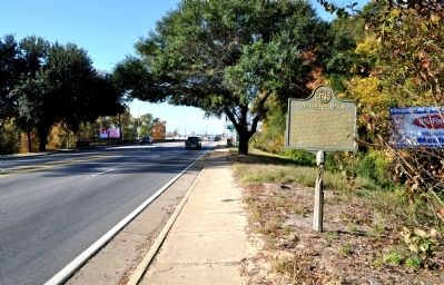
Location. 32° 32.683′ N, 82° 53.462′ W. Marker is in Dublin, Georgia, in Laurens County. Marker is on Central Drive (U.S. 80) 0.1 miles west of Nobles Drive, on the left when traveling east. The marker is located on a small stretch of land between the two bridges over the Oconee River. Touch for map. Marker is in this post office area: East Dublin GA 31027, United States of America. Touch for directions.
Other nearby markers. At least 8 other markers are within 10 miles of this marker, measured as the crow flies. A different marker also named Jefferson Davis (a few steps from this marker); Laurens County (approx. 0.8 miles away); Laurens County Honor Roll (approx. 0.8 miles away); Captain Hardy Smith House (approx. 1.1 miles away); Carnegie Library (approx. 1.1 miles away); Where the Dream Began (approx. 1.1 miles away); Martin Luther King, Jr.'s First Public Speech (approx. 1.1 miles away); Vallombrosa Plantation of Governor George Michael Troup (approx. 9.6 miles away). Touch for a list and map of all markers in Dublin.
Credits. This page was last revised on June 16, 2016. It was originally submitted on November 14, 2011, by David Seibert of Sandy Springs, Georgia. This page has been viewed 742 times since then and 37 times this year. Photos: 1, 2, 3, 4. submitted on November 14, 2011, by David Seibert of Sandy Springs, Georgia. • Craig Swain was the editor who published this page.


