Macon in Bibb County, Georgia — The American South (South Atlantic)
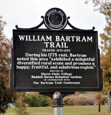
William Bartram Trail
Traced 1773-1777
Erected 2011 by Macon State College and Waddell Barnes Botanical Gardens in cooperation with The Bartram Trail Conference.
Topics and series. This historical marker is listed in these topic lists: Colonial Era • Environment • Exploration. In addition, it is included in the William Bartram Trails series list. A significant historical year for this entry is 1775.
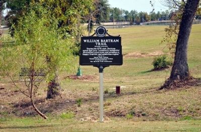
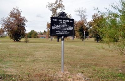
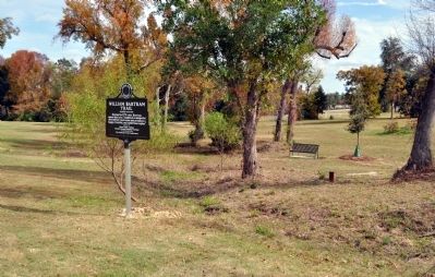
Location. 32° 48.883′ N, 83° 43.9′ W. Marker is in Macon, Georgia, in Bibb County. Marker is on Colonial Station Drive, 0 miles south of Columbus Road, on the right when traveling south. The marker is on the traffic circle just inside the northern entrance to Macon State College. Touch for map. Marker is in this post office area: Macon GA 31206, United States of America. Touch for directions.
Other nearby markers. At least 8 other markers are within 5 miles of this marker, measured as the crow flies. Muscadine Studios (approx. 4.1 miles away); Confederate States Central Laboratory (approx. 4.2 miles away); Villa Albicini (approx. 4.3 miles away); Ballard-Hudson Senior High School (approx. 4.3 miles away); a different marker also named Ballard-Hudson Senior High School (approx. 4.3 miles away); The Candler Building (approx. 4.3 miles away); Wesleyan College Historic District (approx. 4.3 miles away); Bach-Duncan-Daniel (approx. 4.7 miles away). Touch for a list and map of all markers in Macon.
Credits. This page was last revised on November 15, 2019. It was originally submitted on November 16, 2011, by David Seibert of Sandy Springs, Georgia. This page has been viewed 955 times since then and 16 times this year. Photos: 1, 2, 3, 4. submitted on November 17, 2011, by David Seibert of Sandy Springs, Georgia. • Craig Swain was the editor who published this page.


