Riverton in Pendleton County, West Virginia — The American South (Appalachia)
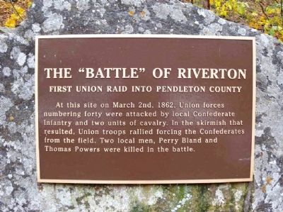
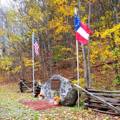
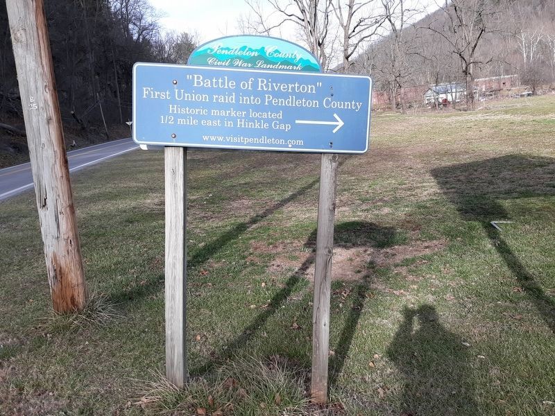
The "Battle" of Riverton
First Union Raid into Pendleton County
Topics. This historical marker is listed in this topic list: War, US Civil. A significant historical month for this entry is March 1813.
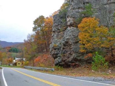
Location. 38° 44.483′ N, 79° 25.967′ W. Marker is in Riverton, West Virginia, in Pendleton County. Marker is on Germany Valley Road (County Route 9) 0.6 miles east of Mountaineer Drive (U.S. 33), on the right when traveling east. On the road to Seneca Caverns just after you leave the town of Riverton. Touch for map. Marker is in this post office area: Riverton WV 26814, United States of America. Touch for directions.
Other nearby markers. At least 8 other markers are within 7 miles of this marker, measured as the crow flies. Oriskany Sand (approx. 0.3 miles away); Gravesite of John Dolly (approx. 1.9 miles away); Last Union Raid (approx. 3 miles away); Germany Valley (approx. 3 miles away); Spruce Knob (approx. 5.1 miles away); Indians (approx. 5.7 miles away); Camp Luther (approx. 5.8 miles away); Organized Pendleton County (approx. 7 miles away). Touch for a list and map of all markers in Riverton.
Credits. This page was last revised on October 20, 2020. It was originally submitted on November 20, 2011, by Linda Walcroft of Woodstock, Virginia. This page has been viewed 1,312 times since then and 66 times this year. Photos: 1, 2, 3. submitted on November 20, 2011, by Linda Walcroft of Woodstock, Virginia. 4. submitted on October 19, 2020, by Craig Doda of Napoleon, Ohio. • Craig Swain was the editor who published this page.


