Cleveland in Bradley County, Tennessee — The American South (East South Central)
Red Clay Council Ground
Photographed by Judith Barber, November 13, 2011
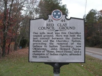
1. Red Clay Council Ground Marker
One mile west was this Cherokee council ground. Here was held the last council between the United States and the Cherokee nation, preceding the removal of the Indians to Indian Territory, now Oklahoma. John Howard Payne, author of “Home, Sweet Home,” and a champion of Indian rights, attended this council.
Erected by Tennessee Historical Commission. (Marker Number 2A 44.)
Topics and series. This historical marker is listed in this topic list: Indigenous Peoples and Communities. In addition, it is included in the Tennessee Historical Commission series list.
Location. 34° 59.571′ N, 84° 55.705′ W. Marker is in Cleveland, Tennessee, in Bradley County. It is on Dalton Pike (State Highway 60). Touch for map. Marker is at or near this postal address: 8251 - 8371 Dalton Pike, Cleveland TN 37323, United States of America. Touch for directions.

Regionally, this marker is in East Tennessee. It is also in the American South, specifically in the Upper South, in Appalachia, and specifically in Southern Appalachia. Globally, it is in North America, the Western
this page online
Other nearby markers. At least 8 other markers are within one mile of this marker, measured as the crow flies: Blacksmith Shop (approx. 0.9 miles away); Inside the Farmhouse (approx. 0.9 miles away); Cherokee Farmstead (approx. 0.9 miles away); A Visitor's Account (approx. 0.9 miles away); Sleeping Huts (approx. one mile away); Red Clay Council (approx. one mile away); The Cherokee Today (approx. one mile away); The Great Council Spring (approx. one mile away). Touch for a list and map of all markers in Cleveland.
Another marker is no longer nearby. Historic Red Clay (was approx. 0.8 miles away in Georgia but has been replaced with another marker now near it).
Photographed by Tom Bosse, April 3, 2018
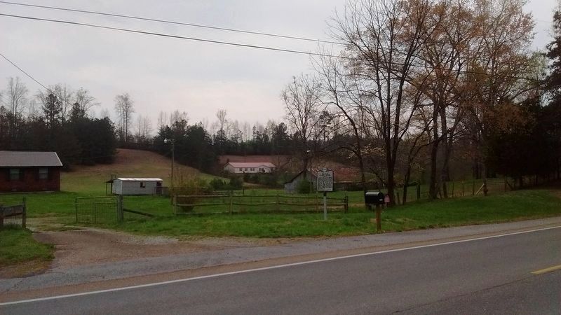
2. Red Clay Council Ground Marker
Internet Archive
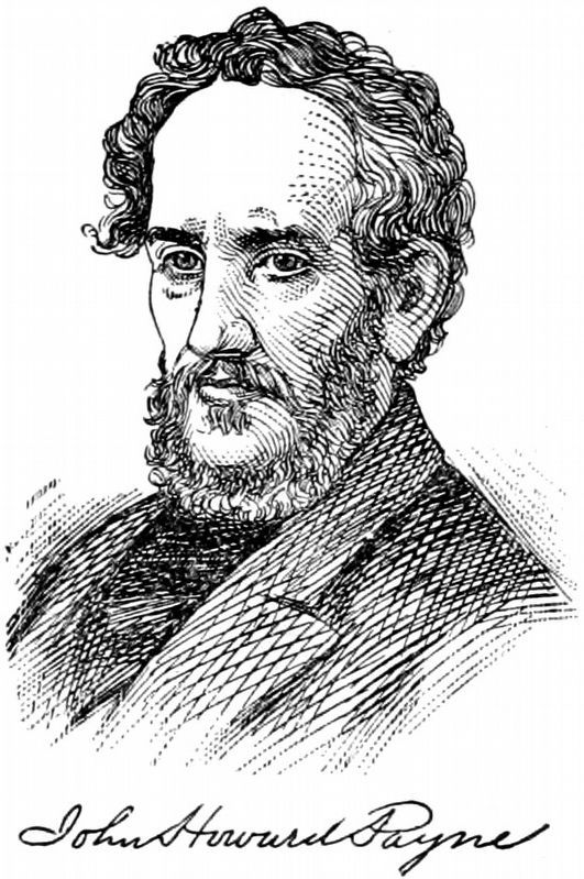
3. John Howard Payne
from The Biographical Dictionary of America, 1906, by Rossiter Johnson.
Credits. This page was last revised on September 14, 2018. It was originally submitted on November 21, 2011, by Judith Barber of Marietta, Georgia. This page has been viewed 1,578 times since then and 70 times this year. Photos: 1. submitted on November 21, 2011, by Judith Barber of Marietta, Georgia. 2. submitted on April 3, 2018, by Tom Bosse of Jefferson City, Tennessee. 3. submitted on August 31, 2018, by Allen C. Browne of Silver Spring, Maryland. • Craig Swain was the editor who published this page.
