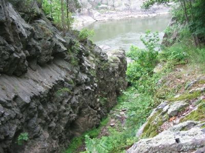
Near McLean in Fairfax County, Virginia — The American South (Mid-Atlantic)
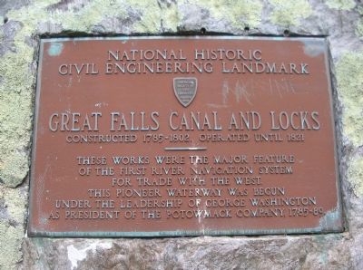
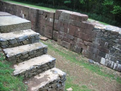
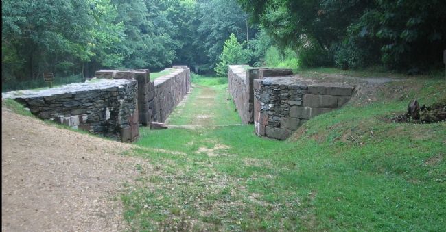
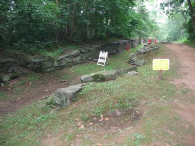
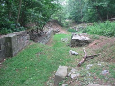
Great Falls Canal and Locks
Civil Engineering Landmark
Great Falls Canal and Locks
Constructed 1785-1802. Operated until 1821
———
These works were the major feature
of the first river navigation system
for trade with the west.
This pioneer waterway was begun
under the leadership of George Washington
as president of the Potowmack Company, 1785-89.
Erected by American Society of Civil Engineers.
Topics and series. This historical marker is listed in these topic lists: Industry & Commerce • Waterways & Vessels. In addition, it is included in the ASCE Civil Engineering Landmarks series list. A significant historical year for this entry is 1821.
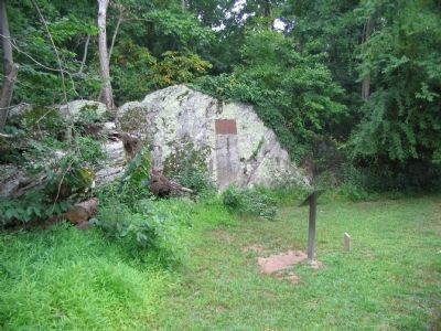
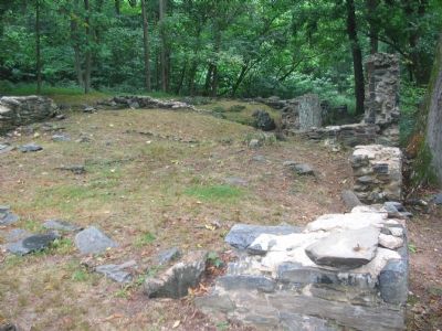
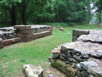
Location. 38° 59.425′ N, 77° 14.977′ W. Marker is near McLean, Virginia, in Fairfax County. Marker can be reached from the intersection of Old Dominion Drive and Georgetown Pike (Virginia Route 193). Located along the Great Falls National Park main trail, near the old locks of the Potowmack Canal. Touch for map. Marker is in this post office area: Mc Lean VA 22102, United States of America. Touch for directions.
Other nearby markers. At least 8 other markers are within walking distance of this marker. The Company House (about 300 feet away, measured in a direct line); Mather Gorge (about 800 feet away); Matildaville (approx. 0.2 miles away); The Patowmack Canal (approx. 0.3 miles away); The Floods (approx. 0.3 miles away in Maryland); Floods at Great Falls (approx. 0.4 miles away); a different marker also named Patowmack Canal (approx. 0.4 miles away); People and the Potomac (approx. 0.4 miles away). Touch for a list and map of all markers in McLean.
Also see . . .
1. The Potowmack Canal. National Park Service article about the canal. (Submitted on January 26, 2008, by Craig Swain of Leesburg, Virginia.)
2. Potowmack Canal and Locks. American Society of Civil Engineering reference for the canal. (Submitted on January 26, 2008, by Craig Swain of Leesburg, Virginia.)
Photographed By Craig Swain, July 29, 2007
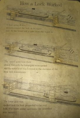
5. How a Lock Worked
First Step: A boat going downstream entered the lock at its upper end. At the lower end a gate kept the water in.
Second Step: The upper gate was then closed. Valves in the lower gate were opened and the water level was lowered to the elevation of the next lock downstream.
Third Step: The lower gate was opened and the boat proceeded to the next lock. For boats going upstream, the procedure was reversed.
Second Step: The upper gate was then closed. Valves in the lower gate were opened and the water level was lowered to the elevation of the next lock downstream.
Third Step: The lower gate was opened and the boat proceeded to the next lock. For boats going upstream, the procedure was reversed.
Credits. This page was last revised on July 7, 2021. It was originally submitted on January 26, 2008, by Craig Swain of Leesburg, Virginia. This page has been viewed 1,332 times since then and 28 times this year. Photos: 1, 2, 3, 4, 5, 6, 7, 8, 9, 10. submitted on January 26, 2008, by Craig Swain of Leesburg, Virginia.
