University District in Columbus in Franklin County, Ohio — The American Midwest (Great Lakes)
Neil Avenue Gate
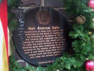
Photographed by Jamie Abel, November 21, 2011
1. Neil Avenue Gate Marker
Decorated with a wreath for the holidays.
Topics. This historical marker is listed in these topic lists: Education • Roads & Vehicles. A significant historical month for this entry is November 1922.
Location. 39° 59.743′ N, 83° 0.888′ W. Marker is in Columbus, Ohio, in Franklin County. It is in the University District. It is at the intersection of Neil Avenue and West 11th Avenue, on the left when traveling north on Neil Avenue. Touch for map. Marker is at or near this postal address: 1698 Neil Avenue, Columbus OH 43210, United States of America. Touch for directions.

Regionally, this marker is in Ohio’s Scioto Valley. It is also in the American Midwest and in the Corn Belt. Globally, it is in North America, the Western Hemisphere,
this page online
Other nearby markers. At least 8 other markers are within walking distance of this marker: Ohio Farm Bureau Founded (about 400 feet away, measured in a direct line); Mirror Lake (about 800 feet away); The Underground Railroad on University Land (approx. 0.2 miles away); Browning Amphitheatre / The Outdoor Performance Center (approx. 0.2 miles away); The Ohio State University (approx. 0.2 miles away); Bucket & Dipper Junior Class Honorary (approx. 0.2 miles away); a different marker also named Mirror Lake (approx. 0.2 miles away); 2018 Restoration & Evolution (approx. 0.2 miles away). Touch for a list and map of all markers in Columbus.
Also see . . . The 1970 Riots. The Neil Avenue gate was where the 1970 OSU riots began. (Submitted on November 23, 2011, by Jamie Abel of Westerville, Ohio.)
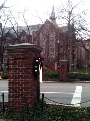
Photographed by Jamie Abel, November 21, 2011
2. Neil Avenue Gate Marker
Marker is located on the south face of the west column, the one nearest the camera in this east-facing photo.
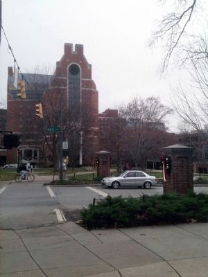
Photographed by Jamie Abel, November 21, 2011
3. Neil Avenue Gate Marker
The columns with Ohio State's well-known James Cancer Center rising in the background to the west.
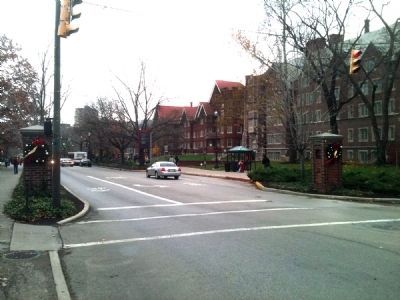
Photographed by Jamie Abel, November 21, 2011
4. Neil Avenue Gate Marker
Looking north along Neil Avenue toward the heart of The Ohio State University campus.
Credits. This page was last revised on February 3, 2023. It was originally submitted on November 23, 2011, by Jamie Abel of Westerville, Ohio. This page has been viewed 854 times since then and 17 times this year. Photos: 1, 2, 3, 4. submitted on November 23, 2011, by Jamie Abel of Westerville, Ohio. • Bill Pfingsten was the editor who published this page.
