Mesa in Maricopa County, Arizona — The American Mountains (Southwest)
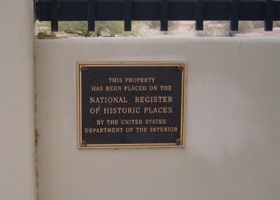
Mesa Grande
has been placed on the
National Register
of Historic Places
By the United States
Department of the Interior
Topics. This historical marker is listed in this topic list: Native Americans.
Location. 33° 25.996′ N, 111° 50.751′ W. Marker is in Mesa, Arizona, in Maricopa County. Marker is at the intersection of West 10th Street and North Cherry, on the right when traveling west on West 10th Street. Touch for map. Marker is in this post office area: Mesa AZ 85201, United States of America. Touch for directions.
Other nearby markers. At least 8 other markers are within 2 miles of this marker, measured as the crow flies. Mesa Woman's Club House (approx. 1.2 miles away); Sirrine House (approx. 1.3 miles away); Landmark Restaurant / Mesa Community College (approx. 1.3 miles away); Wayne C. Pomeroy (approx. 1.4 miles away); Pomeroy Building (approx. 1.4 miles away); Zeb Pearce Companies Building (approx. 1.4 miles away); Zebulon Pearce Monument (approx. 1.4 miles away); Zenos Co-Op (approx. 1.4 miles away). Touch for a list and map of all markers in Mesa.
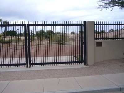
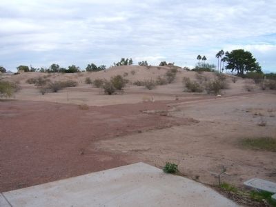
Regarding Mesa Grande. At the present time, the ruin is not open to the public but can be seen through the fence.
Credits. This page was last revised on July 26, 2018. It was originally submitted on November 27, 2011, by Bill Kirchner of Tucson, Arizona. This page has been viewed 759 times since then and 23 times this year. Photos: 1, 2, 3. submitted on November 27, 2011, by Bill Kirchner of Tucson, Arizona. • Syd Whittle was the editor who published this page.


