Near Middlesboro in Bell County, Kentucky — The American South (East South Central)
A Masterful Retreat
Photographed by Tom Bosse, September 4, 2021
1. A Masterful Retreat Marker
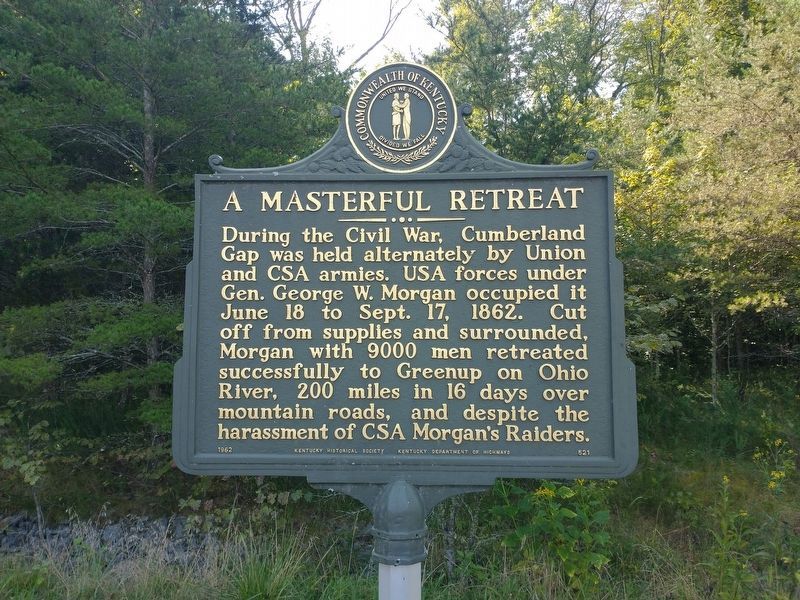
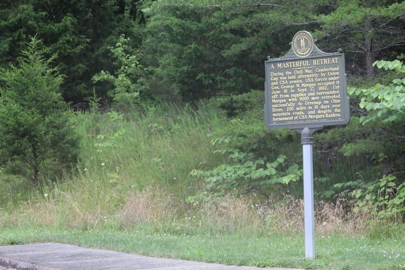
During the Civil War, Cumberland Gap was held alternately by Union and CSA armies. USA forces under Gen. George W. Morgan occupied it June 18 to Sept. 17, 1862. Cut off from supplies and surrounded, Morgan with 9,000 men retreated successfully to Greenup on Ohio River, 200 miles in 16 days over mountain roads, and despite the harassment of CSA Morgan's Raiders.
Erected 1962 by Kentucky Historical Society & Kentucky Department of Highways. (Marker Number 521.)
Topics and series. This historical marker is listed in this topic list: War, US Civil. In addition, it is included in the Kentucky - Confederate Raids and Invasions, and a Federal Retreat, and the Kentucky Historical Society series lists. A significant historical date for this entry is June 18, 1862.
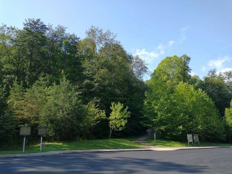
Location. 36° 36.545′ N, 83° 40.658′ W. Marker is near Middlesboro, Kentucky, in Bell County. It can be reached from the intersection of Old Wilderness Road (Kentucky Route 988) and Pinnacle View Road, on the right when traveling north. Marker is located in the Thomas Walker Parking Area with the Cumberland Gap National Historical Park. Touch for map. Marker is in this post
this page online

Regionally, this marker is in Eastern Kentucky and in the Cumberland Plateau. It is also in the American South, specifically in the Upper South, in Appalachia, and specifically in Southern Appalachia. Globally, it is in North America, the Western Hemisphere, the Western World, and the Anglosphere. Historically, it finds itself in what was once the territory of the Mississippian Culture and also the Antebellum South.
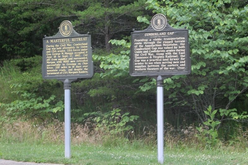
Other nearby markers. At least 8 other markers are within walking distance of this marker: Cumberland Gap / Grant Visits Cumberland Gap (here, next to this marker); Two-Way Traffic (within shouting distance of this marker); An Object Lesson Road (within shouting distance of this marker); Warriors' Path (about 400 feet away, measured in a direct line); Forts and Batteries, North and South (approx. 0.2 miles away); Two Armies, One Railroad (approx. 0.2 miles away); a different marker also named An Object Lesson Road (approx. ¼ mile away); Wilderness Road (approx. 0.3 miles away). Touch for a list and map of all markers in Middlesboro.
Other
Photographed by Tom Bosse, July 7, 2021
2. A Masterful Retreat Marker
More about this marker. This marker appears to have been re-made as the original marker was lost or damaged. It was also relocated from its original location. Originally located east of Middlesboro on US-25E (36.60508N, 83.68852W).
Also see . . .
1. Cumberland Gap National Historical Park. National Park Service. (Submitted on July 25, 2021.)
2. A Masterful Retreat (Marker Number: 521). Location: Cumberland Gap, US 25-E Description: During the Civil War, Cumberland Gap was held alternately by Union and CSA armies. USA forces under Gen. George W. Morgan occupied it June 18 to Sept. 17, 1862. Cut off from supplies and surrounded, Morgan with 9,000 men retreated successfully to Greenup on Ohio River, 200 miles in 16 days over mountain roads, and despite the harassment of CSA Morgan's Raiders. (Submitted on February 4, 2012.)
Photographed by Tom Bosse, July 7, 2021
3. A Masterful Retreat Marker
Photographed by Tom Bosse, September 4, 2021
4. A Masterful Retreat Marker
Marker is on the left.
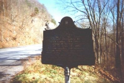
Photographed by Robert V. Droz
5. Old Marker photo submitted in 2011.
Credits. This page was last revised on September 6, 2021. It was originally submitted on December 6, 2011, by Robert V. Droz of Mulberry, Florida. This page has been viewed 1,270 times since then and 39 times this year. Photos: 1. submitted on September 5, 2021, by Tom Bosse of Jefferson City, Tennessee. 2, 3. submitted on July 24, 2021, by Tom Bosse of Jefferson City, Tennessee. 4. submitted on September 5, 2021, by Tom Bosse of Jefferson City, Tennessee. 5. submitted on December 6, 2011, by Robert V. Droz of Mulberry, Florida. • Craig Swain was the editor who published this page.
