Near Jacumba in Imperial County, California — The American West (Pacific Coastal)
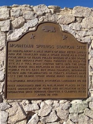
Mountain Springs Station Site
Erected 1991 by State Department of Parks and Recreation in, Imperial Valley Pioneer and Squibob Chapter, E Clampus Vitus. (Marker Number 194.)
Topics and series. This historical marker is listed in these topic lists: Industry & Commerce • Roads & Vehicles. In addition, it is included in the California Historical Landmarks, and the E Clampus Vitus series lists. A significant historical year for this entry is 1876.
Location. 32° 39.55′ N, 116° 5.98′ W. Marker is near Jacumba, California, in Imperial County. Marker can be reached from In-Ko-Pah Park Road near Interstate 8. Take the In-Ko-Pah Park Road exit off of Interstate 8 and follow it north to the end. Touch for map. Marker is at or near this postal address: 1 In-Ko-Pah Park Road, Jacumba CA 91934, United States of America. Touch for directions.
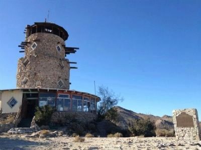
Other nearby markers. At least 5 other markers are within 12 miles of this marker, measured as the crow flies. Desert Tower (a few steps from this marker); Imperial Valley Desert Museum (approx. 7.7 miles away); Geoglyphs (approx. 7.7 miles away); The Impossible Railroad (approx. 9.2 miles away); De Anza Overlook (approx. 11.8 miles away).
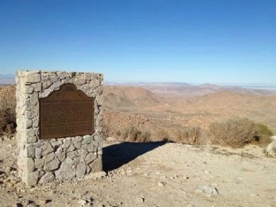
More about this marker. This marker is near the border of San Diego and Imperial Counties. The marker is located at the Desert View Tower in Imperial County but the town is located in San Diego County.
This site was first registered as California Historical Landmark No. 194 on June 20, 1935 but a marker was not placed until April 27, 1991.
Credits. This page was last revised on February 17, 2022. It was originally submitted on December 6, 2011, by Dean Whittle of San Diego, California. This page has been viewed 1,441 times since then and 105 times this year. Photos: 1, 2, 3. submitted on December 6, 2011, by Dean Whittle of San Diego, California. • Syd Whittle was the editor who published this page.


