Near Hewitt in Wood County, Wisconsin — The American Midwest (Great Lakes)
Slidre Evangelical Lutheran Church and Cemetery
— Historical Marker —
Inscription.
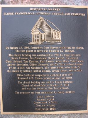
On January 13, 1906, forefathers from Norway established the church. The first pastor to serve was Reverend J.C. Hougum.
The church building was constructed in 1907 by Jorger Erickson, Knute Evenson, Ole Gunderson, Knute Jonsrud, Ole Jorstad, Christ Kolstad, Tom Knutson, Emil Larson, Knute Moen, Tollef Moen, Andrew Snortheim, Gilbert Swenson, and Ole Viste on land donated by Mr. & Mrs. Ole Gunderson. The ladies helped raise funds for the church by holding lutefisk dinners, sewing aprons, and so forth.
Slidre Lutheran congregation continued until 1947. Reverend A.E. Norson served as their last pastor.
The church building was sold to Trinity Lutheran Church of Marshfield on October 16, 1952 and was then moved to East Fourth Street.
The cemetery has been maintained by family members.
Slidre Lutheran
Founded in faith
Consecrated in Christ
Lives on in legacy
Dedicated 2004
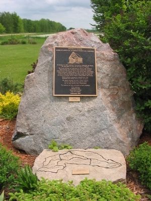
Erected 2004.
Topics. This historical marker is listed in these topic lists: Cemeteries & Burial Sites • Churches & Religion. A significant historical month for this entry is January 1730.
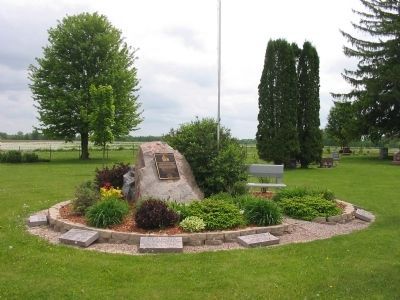
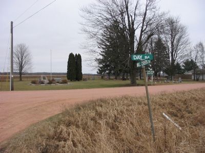
Location. 44° 36.666′ N, 90° 4.752′ W. Marker is near Hewitt, Wisconsin, in Wood County. Marker is at the intersection of Day Road and Mill Creek Drive, on the left when traveling south on Day Road. Marker is at Slidre Lutheran Cemetery. Touch for map. Marker is in this post office area: Arpin WI 54410, United States of America. Touch for directions.
Other nearby markers. At least 8 other markers are within 6 miles of this marker, measured as the crow flies. Prisoners of War (approx. 5.1 miles away); Hamilton & Catherine Roddis House (approx. 5.3 miles away); World's Largest Round Barn (approx. 5˝ miles away); Geological History of Powers Bluff (approx. 5.7 miles away); Powers Bluff (approx. 5.7 miles away); Indian Dance Rings (approx. 5.7 miles away); Eli Winch House (approx. 5.7 miles away); Indian Bill Cemetery (approx. 5.9 miles away).
Credits. This page was last revised on March 2, 2023. It was originally submitted on January 28, 2008, by Keith L of Wisconsin Rapids, Wisconsin. This page has been viewed 1,336 times since then and 8 times this year. Photos: 1. submitted on January 28, 2008, by Keith L of Wisconsin Rapids, Wisconsin. 2, 3. submitted on May 29, 2010, by Keith L of Wisconsin Rapids, Wisconsin. 4. submitted on January 28, 2008, by Keith L of Wisconsin Rapids, Wisconsin. • Kevin W. was the editor who published this page.


