Santa Barbara in Santa Barbara County, California — The American West (Pacific Coastal)
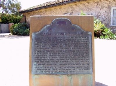
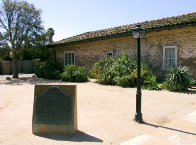
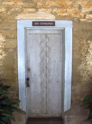
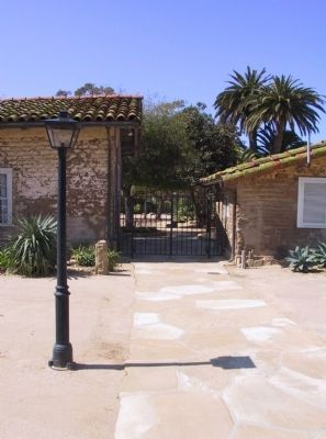
Casa Covarrubas
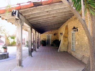
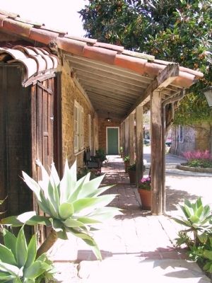
John R. Southworth moved and rebuilt the historic adobe here in 1924 as part of a civic program of historic preservation. Los Adobes De Los Rancheros acquired the property in 1938 as headquarters for Los Rancheros Visitadores and for the use and enjoyment of the people.
Erected 1959 by California State Park Commission in cooperation with the Los Adobes of Los Rancheros. (Marker Number 308.)
Topics and series. This historical marker is listed in these topic lists: Hispanic Americans • Notable Buildings • Settlements & Settlers. In addition, it is included in the California Historical Landmarks series list. A significant historical year for this entry is 1817.
Location. 34° 25.272′ N, 119° 41.795′ W. Marker is in Santa Barbara, California, in Santa Barbara County. Marker is at the intersection of Santa Barbara Street and East De La Guerra Street, on the right when traveling south on Santa Barbara Street. Touch for map. Marker is in this post office area: Santa Barbara CA 93101, United States of America. Touch for directions.
Other nearby markers. At least 8 other markers are within walking distance of this marker. Santa Barbara Presidio (about 500 feet away, measured in a direct line); The Rochin Adobe (about 500 feet away); Rochin-Birabent Adobe (about 500 feet away); The Oreña Adobe (about 600 feet away); Site of Royal Spanish Presidio (approx. 0.2 miles away); De La Guerra Plaza (approx. 0.2 miles away); Jose Lobero's Opera House (approx. 0.2 miles away); Gutierrez Drug Store (approx. 0.2 miles away). Touch for a list and map of all markers in Santa Barbara.
Credits. This page was last revised on June 16, 2016. It was originally submitted on December 16, 2011, by Michael Kindig of Elk Grove, California. This page has been viewed 682 times since then and 18 times this year. Photos: 1, 2, 3, 4, 5, 6. submitted on December 16, 2011, by Michael Kindig of Elk Grove, California. • Syd Whittle was the editor who published this page.
