Near Corona in Riverside County, California — The American West (Pacific Coastal)
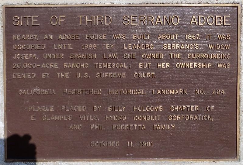
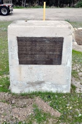
Site of Third Serrano Adobe
Erected 1981 by Billy Holcomb Chapter of E Clampus Vitus, Hydro Conduit Corporation and Phil Porretti family. (Marker Number 224.)
Topics and series. This historical marker is listed in these topic lists: Hispanic Americans • Settlements & Settlers. In addition, it is included in the California Historical Landmarks, and the E Clampus Vitus series lists. A significant historical year for this entry is 1867.
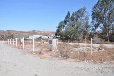
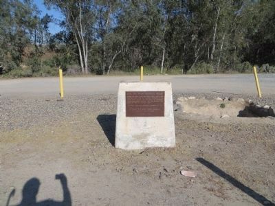
Location. 33° 46.674′ N, 117° 29.16′ W. Marker is near Corona, California, in Riverside County. Marker is on Temescal Canyon Road near Interstate 15, on the right when traveling east. The site is about 8 miles south of Corona. Exit I-15 at Temescal Canyon Road. On the east side of the freeway, about 150' south of the road is a clearing with the vats and the Plaque. East of here at the junction of Temescal Canyon Road and Dawson Canyon Road was the site of the third adobe Don Leandro Serrano built in this canyon. Touch for map. Marker is at or near this postal address: 23255 Temescal Canyon Road, Corona CA 92883, United States of America. Touch for directions.
Other nearby markers. At least 8 other markers are within 8 miles of this marker, measured as the crow flies. Tanning Vat (a few steps from this marker); Serrano Tanning Vats (a few steps from this marker); Old Temescal Road (approx. one mile away); Site of Butterfield Stage Station (approx. 2.9 miles away); Silverado (approx. 6 miles away); Corona Historic Preservation Society (approx. 7 miles away); Corona History (approx. 7.6 miles away); Corona Founders (approx. 7.8 miles away). Touch for a list and map of all markers in Corona.
More about this marker. The adobe was not large, being about 30 feet long and 18 feet wide with a shake roof and sawed rafters. Don Leandro became Mayordomo of Pala Chapel and in 1818 the priest at Mission San Luis Rey sent him to mission lands in Temescal Valley where many Indians were then living. The word "temescal" was derived form the Aztec language, roughly meaning "sweat house" and the Indians were using brush hut temescals before Serrano's arrival.
SOURCE: Billy Holcomb Chapter 1069 35th Anniversary Plaque Book by Phillip Holdaway
Regarding Site of Third Serrano Adobe. This site was designated as California Registered Historical Landmark No.224 on June 20, 1935:
Statement of Significance:
Don Leandro Serrano set out orchards and vineyards and cultivated some of the fertile lands of the Temescal Valley. In the 1840s he built his third adobe, which the Serrano family occupied until 1898, on the well-traveled road between San Diego and Los Angeles.
Also see . . . The Supreme Court Case - Serrano v United States. Details of the court case and its outcome. (Submitted on March 16, 2010.)
Credits. This page was last revised on July 3, 2021. It was originally submitted on March 14, 2010, by Sharon N. Goodman of Round Rock, Texas. This page has been viewed 2,050 times since then and 23 times this year. Last updated on December 18, 2011, by Michael Kindig of Elk Grove, California. Photos: 1. submitted on July 3, 2021, by Craig Baker of Sylmar, California. 2. submitted on March 14, 2010, by Sharon N. Goodman of Round Rock, Texas. 3. submitted on December 18, 2011, by Michael Kindig of Elk Grove, California. 4. submitted on April 5, 2015, by Bill Kirchner of Tucson, Arizona. • Syd Whittle was the editor who published this page.


