McCarr in Pike County, Kentucky — The American South (East South Central)
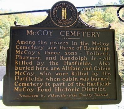
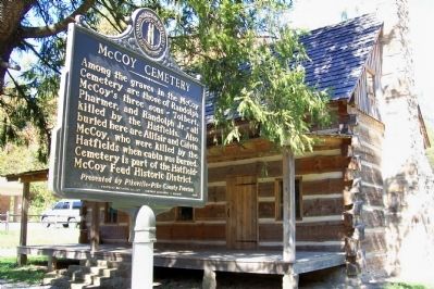
McCoy Cemetery
Presented by Pikeville-Pike County Tourism.
Erected 2001 by Kentucky Historical Society and Kentucky Department of Highways. (Marker Number 2067.)
Topics and series. This historical marker is listed in this topic list: Cemeteries & Burial Sites. In addition, it is included in the Kentucky Historical Society, and the The Hatfield-McCoy Feud series lists.
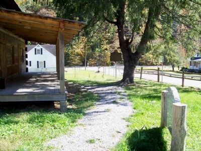
Location. 37° 34.817′ N, 82° 10.793′ W. Marker is in McCarr, Kentucky, in Pike County. Marker is on Toler Road (Kentucky Route 319) 0.1 miles west of Kentucky Route 1056, on the right when traveling west. Next to McCarr Post Office and in front of log cabin for Hog Trial site. Touch for map. Marker is at or near this postal address: 6884 State Hwy 319, Mc Carr KY 41544, United States of America. Touch for directions.
Other nearby markers. At least 8 other markers are within 3 miles of this marker, measured as the crow flies. Hog Trial Site (a few steps from this marker); Hog Trial / Election Fight (a few steps from this marker); Site of Killing of Asa Harmon McCoy (approx. 1.7 miles away); Hatfield McCoy Feud (approx. 2.2 miles away in West Virginia); Site of Randolph McCoy House (approx. 2˝ miles away); Randal McCoy's Well (approx. 2˝ miles away); The Real McCoy Homestead Uncovered (approx. 2˝ miles away); McCoy Well (approx. 2˝ miles away). Touch for a list and map of all markers in McCarr.
Additional keywords. Feud, Hatfield and McCoys
Credits. This page was last revised on November 5, 2020. It was originally submitted on December 18, 2011, by Forest McDermott of Masontown, Pennsylvania. This page has been viewed 8,932 times since then and 26 times this year. Photos: 1, 2, 3. submitted on December 18, 2011, by Forest McDermott of Masontown, Pennsylvania. • Bernard Fisher was the editor who published this page.


