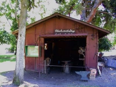
Yucaipa in San Bernardino County, California — The American West (Pacific Coastal)
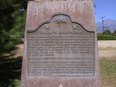
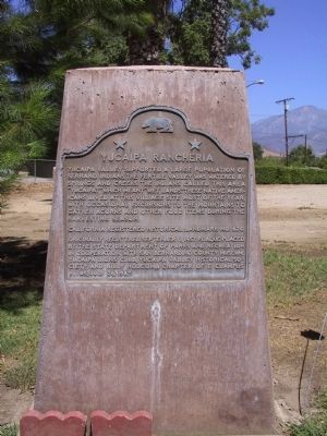
Yucaipa Rancheria
Erected 1987 by State Department of Parks and Recreation in cooperation with San Bernardino County Museum, Yucaipa Lions Club, Yucaipa Valley Historical Society, and Billy Holcomb Chapter No. 1069, E Clampus Vitus. (Marker Number 620.)
Topics and series. This historical marker is listed in these topic lists: Native Americans • Notable Places. In addition, it is included in the California Historical Landmarks, and the E Clampus Vitus series lists.
Location. 34° 1.346′ N, 117° 6.14′ W. Marker is in Yucaipa, California, in San Bernardino County. Marker is at the intersection of Kentucky Street and Dunlap Boulevard, on the right when traveling east on Kentucky Street. Touch for map. Marker is at or near this postal address: 32183 Kentucky Street, Yucaipa CA 92399, United States of America. Touch for directions.
Other nearby markers. At least 8 other markers are within 6 miles of this marker, measured as the crow flies. Yucaipa Adobe (within shouting distance of this marker); The Greenspot Market (approx. 3.4 miles away); Mill Creek Zanja (approx. 3.8 miles away); Kimberly Crest (approx. 4.2 miles away); a different marker also named Mill Creek Zanja (approx. 4.6 miles away); Camp Mill Creek (approx. 5 miles away); Lincoln Memorial Shrine (approx. 5.1 miles away); William McKinley (approx. 5.2 miles away).
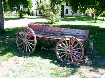
More about this marker. The Yucaipa Adobe has also been known as the Sepulveda or Dunlap Adobe and now serves as a branch of the San Bernardino County Museum.
Regarding Yucaipa Rancheria. Yucaiopa Valley was within the territory of the Serrano Indians, a peaceful people belonging to the Shoshonean division of the Uto-Aztec linguistic group. This group included the Utes and Utah, the Hopi of Arizona, the Aztecs of Mexico and the Cahuillas of California. SOURCE: Billy Holcomb Chapter 1069 35th Anniversary Plaque Book by Phillip Holdaway
Credits. This page was last revised on June 16, 2016. It was originally submitted on December 18, 2011, by Michael Kindig of Elk Grove, California. This page has been viewed 1,413 times since then and 104 times this year. Photos: 1, 2. submitted on December 18, 2011, by Michael Kindig of Elk Grove, California. 3, 4, 5. submitted on December 24, 2011, by Michael Kindig of Elk Grove, California. • Syd Whittle was the editor who published this page.
