Tybee Island in Chatham County, Georgia — The American South (South Atlantic)
John Wesley
(1703-1791)
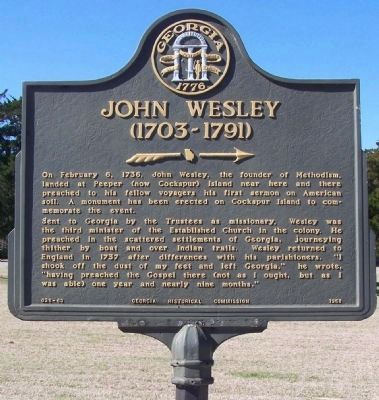
Photographed by Mike Stroud, January 2008
1. John Wesley (1703-1791) Marker
Sent to Georgia by the Trustees as missionary, Wesley was the third minister of the Established Church in the colony. He preached in the scattered settlements of Georgia, journeying thither by boat and over Indian trails. Wesley returned to England in 1737 after differences with his parishioners. "I shook off the dust of my feet and left Georgia," he wrote, "having preached the Gospel there (not as I ought, but as I was able) one year and nearly nine months."
Erected 1958 by Georgia Historical Commission. (Marker Number 025-63.)
Topics and series. This historical marker is listed in these topic lists: Colonial Era • Religion & Religious Structures • Settlements & Settlers. In addition, it is included in the Georgia Historical Society series list. A significant historical date for this entry is February 6, 1736.
Location. 32° 1.666′ N, 80° 53.553′ W. Marker is on
this page online

Regionally, this marker is on the Coastal Plain, on the Georgia Coast and the Golden Isles, in Greater Savannah, and on the Sea Islands. It is also in the American South, specifically in the Deep South, and on the Eastern Seaboard. Globally, it is in the North Atlantic Region, North America, the Western Hemisphere, the Western World, and the Anglosphere. Historically, it finds itself in what was once New Spain, the territory of the Mississippian Culture, one of the original Thirteen Colonies, one of the Confederate States of America, and the Antebellum South.
Other nearby markers. At least 8 other markers are within walking distance of this marker: History of Emancipation: (a few steps from this marker); Cockspur Island Lighthouse (a few steps from this marker); A Bustling Village (within shouting distance of this marker);
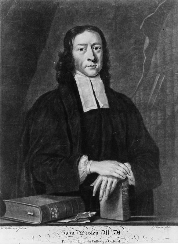
via New Georgia Encyclopedia
2. John Wesley
Regarding John Wesley. Founder of Methodism visited Georgia.
Also see . . .
1. John Wesley. New Georgia Encyclopedia entry (Submitted on August 22, 2025, by Larry Gertner of New York, New York.)
2. John Wesley. Wikipedia entry:
Methodists, under Wesley's direction, became leaders in many social justice issues of the day including prison reform and abolitionism movements. (Submitted on January 30, 2008, by Mike Stroud of Bluffton, South Carolina.)
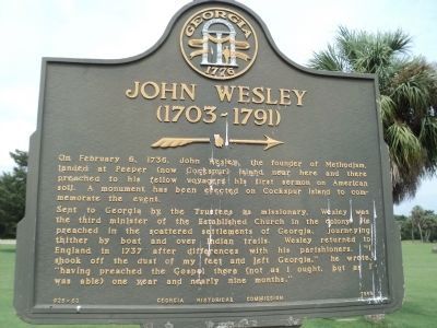
Photographed by Bill Coughlin, August 5, 2013
3. John Wesley (1703-1791) Marker

Photographed by Jeff Leichsenring, July 6, 2025
4. John Wesley Marker
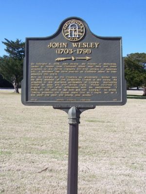
Photographed by Mike Stroud, January 2008
5. John Wesley Marker
Photographed by Mike Stroud, 2011
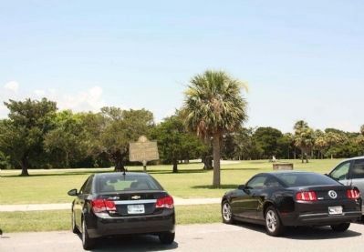
6. John Wesley (1703-1791) Marker
Photographed by Mike Stroud, January 1, 2008
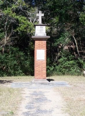
7. John Wesley Landing Site Monument
Photographed by David Tibbs, November 22, 2008
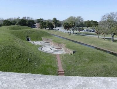
8. John Wesley (1703-1791) Marker-Surrounding Area
This is a picture from the top of Fort Pulaski. To the right is the parking lot and the John Wesley (1703-1791) Marker.
Photographed by David Tibbs, November 22, 2008
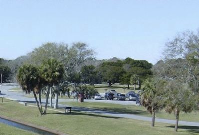
9. John Wesley (1703-1791) Marker
This is a cropped image of the surrounding area. The marker is visible just on the other side of the parking lot in the grass.
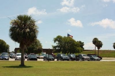
Photographed by Mike Stroud, 2011
10. John Wesley (1703-1791) Marker near the Fort Pukaski parking lot

Photographed by Jeff Leichsenring, July 6, 2025
11. John Wesley Marker
Credits. This page was last revised on August 22, 2025. It was originally submitted on January 30, 2008, by Mike Stroud of Bluffton, South Carolina. This page has been viewed 2,633 times since then and 75 times this year. Photos: 1. submitted on August 25, 2013, by Mike Stroud of Bluffton, South Carolina. 2. submitted on August 22, 2025, by Larry Gertner of New York, New York. 3. submitted on August 17, 2013, by Bill Coughlin of Woodland Park, New Jersey. 4. submitted on August 2, 2025, by Jeff Leichsenring of Garland, Texas. 5. submitted on January 30, 2008, by Mike Stroud of Bluffton, South Carolina. 6. submitted on July 7, 2011, by Mike Stroud of Bluffton, South Carolina. 7. submitted on January 30, 2008, by Mike Stroud of Bluffton, South Carolina. 8, 9. submitted on November 23, 2008, by David Tibbs of Resaca, Georgia. 10. submitted on July 7, 2011, by Mike Stroud of Bluffton, South Carolina. 11. submitted on August 2, 2025, by Jeff Leichsenring of Garland, Texas. • Kevin W. was the editor who published this page.
