Leavenworth in Leavenworth County, Kansas — The American Midwest (Upper Plains)
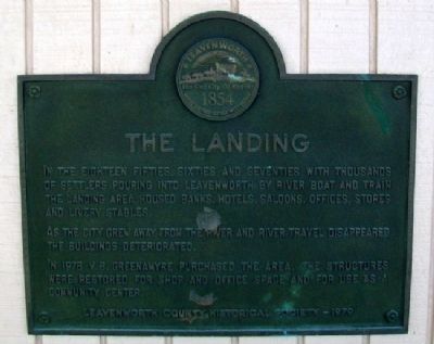
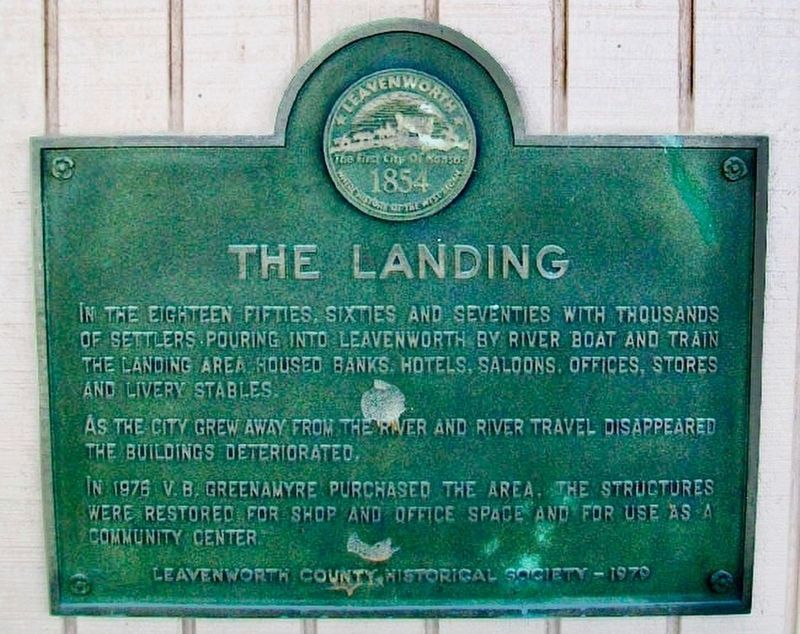
The Landing
In the Eighteen Fifties, Sixties and Seventies with thousands of settlers pouring into Leavenworth by river boat and train the landing area housed banks, hotels, saloons, offices, stores and livery stables.
As the city grew away from the river and river travel disappeared the buildings deteriorated.
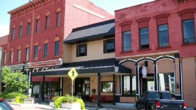
In 1976 V.B. Greenamyre purchased the area. The structures were restored for shop and office space and for use as a community center.
Erected 1979 by Leavenworth County Historical Society.
Topics. This historical marker is listed in these topic lists: Industry & Commerce • Settlements & Settlers • Waterways & Vessels. A significant historical year for this entry is 1976.
Location. 39° 19.102′ N, 94° 54.677′ W. Marker is in Leavenworth, Kansas, in Leavenworth County. Marker is on Delaware Street near 3rd Street, on the right when traveling east. Touch for map. Marker is at or near this postal address: 213 Delaware Street, Leavenworth KS 66048, United States of America. Touch for directions.
Other nearby markers. At least 8 other markers are within walking distance of this marker. The Landing Retail District (a few steps from this marker); Ackenhausen Saddlery Company Building (within shouting distance of this marker); The First Bank in Kansas (within shouting distance of this marker); Manufacturing Metropolis of the Midwest (about 300 feet away, measured in a direct line); General William Tecumseh Sherman (about 500 feet away); Law Offices of Sherman, Ewing, and McCook (about 500 feet away); The Great Railroad Era (about 500 feet away); Riverfront Community Center (about 600 feet away). Touch for a list and map of all markers in Leavenworth.
Also see . . .
1. Leavenworth Kansas History. Kansas State History website entry (Submitted on January 15, 2022, by Larry Gertner of New York, New York.)
2. Leavenworth County Historical Society. Carroll Mansion Museum website entry (Submitted on December 25, 2011, by William Fischer, Jr. of Scranton, Pennsylvania.)
Credits. This page was last revised on January 28, 2024. It was originally submitted on December 25, 2011, by William Fischer, Jr. of Scranton, Pennsylvania. This page has been viewed 401 times since then and 22 times this year. Photos: 1, 2. submitted on December 25, 2011, by William Fischer, Jr. of Scranton, Pennsylvania. 3. submitted on January 28, 2024.


