Near LaGrange in Troup County, Georgia — The American South (South Atlantic)
The Burnt Village
Erected 1956 by Georgia Historical Commission. (Marker Number 141-11.)
Topics and series. This historical marker is listed in these topic lists: Native Americans • Wars, US Indian. In addition, it is included in the Georgia Historical Society series list. A significant historical month for this entry is September 1907.
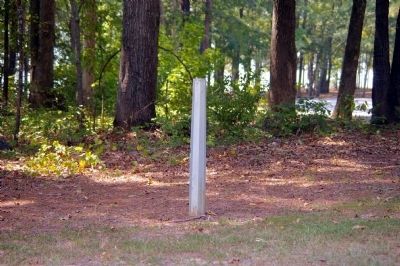
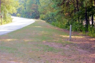
Location. Marker has been reported missing. It was located near 32° 59.701′ N, 85° 10.469′ W. Marker was near LaGrange, Georgia, in Troup County. Marker was on Lower Glass Bridge Road, one mile north of Ferrell-Tatum Road. The marker is on the left just before Lower Glass Bridge Road dead-ends. Touch for map. Marker was in this post office area: Lagrange GA 30240, United States of America. Touch for directions.
Other nearby markers. At least 8 other markers are within 8 miles of this location, measured as the crow flies. Famous Indian Path (approx. 3.9 miles away); Ocfuskooche Tallauhassee (approx. 5.8 miles away in Alabama); Fredonia (approx. 6˝ miles away in Alabama); New Hope Rosenwald School (approx. 7.4 miles away in Alabama); More Enduring Than Marble (approx. 7.9 miles away); Fort Tyler (approx. 7.9 miles away); The Milstead Bell (approx. 7.9 miles away); a different marker also named Fort Tyler (approx. 8 miles away). Touch for a list and map of all markers in LaGrange.
More about this marker. The marker observed standing in 1995. In 2003 the park attendant stated that it had been removed due to vandalism.
Text for the missing marker was taken from “Georgia Historical Markers” (Bay Tree Grove, Second Edition 1978) compiled by Carroll P. Scruggs from the records of the Georgia Historical Commission.
The marker was originally located on the west side of the Chattahoochee River, before the dam at was built creating West Point Lake in 1975. The marker was near the west end of the Glass Bridge, a 614 foot, six span covered bridge named for the Glass family. After the creation of the lake, the marker
was moved to the east bank, on the road which had led to the bridge.
Credits. This page was last revised on June 16, 2016. It was originally submitted on December 26, 2011, by David Seibert of Sandy Springs, Georgia. This page has been viewed 1,847 times since then and 116 times this year. Photos: 1, 2. submitted on December 26, 2011, by David Seibert of Sandy Springs, Georgia. • Craig Swain was the editor who published this page.
Editor’s want-list for this marker. Photo of marker prior to disappearance? • Can you help?

