Los Cerritos in Long Beach in Los Angeles County, California — The American West (Pacific Coastal)
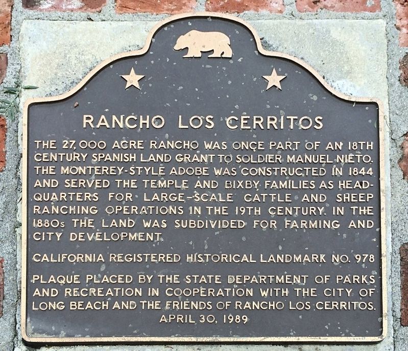
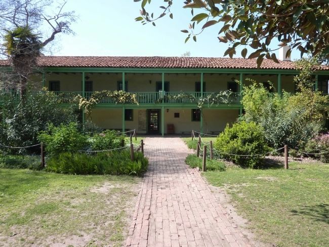
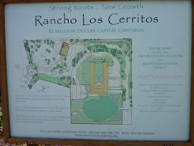
Rancho Los Cerritos
Erected 1989 by State Department of Parks and Recreation in cooperation with the City of Long Beach and the Friends of Rancho Los Cerritos. (Marker Number 978.)
Topics and series. This historical marker is listed in these topic lists: Hispanic Americans • Notable Places • Settlements & Settlers. In addition, it is included in the California Historical Landmarks series list. A significant historical year for this entry is 1844.
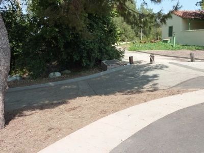
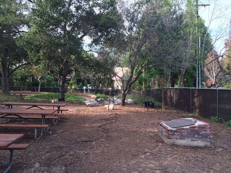
Location. 33° 50.388′ N, 118° 11.759′ W. Marker is in Long Beach, California, in Los Angeles County. It is in Los Cerritos. Marker can be reached from North Virginia Road north of East San Antonio Road. Marker is located on the grounds of the Rancho Los Cerritos Historic Site. Touch for map. Marker is at or near this postal address: 4600 North Virginia Road, Long Beach CA 90807, United States of America. Touch for directions.
Other nearby markers. At least 8 other markers are within 3 miles of this marker, measured as the crow flies. Domínguez Ranch House (approx. 2.3 miles away); Robert A. Cinader (approx. 2.7 miles away); First United States Air Meet (approx. 2.7 miles away); Douglas Park (approx. 3 miles away); First Around the World Globe (approx. 3 miles away); Cover Street (approx. 3 miles away); Worsham Avenue (approx. 3 miles away); a different marker also named First Around the World Globe (approx. 3 miles away). Touch for a list and map of all markers in Long Beach.
Credits. This page was last revised on January 30, 2023. It was originally submitted on December 27, 2011, by Michael Kindig of Elk Grove, California. This page has been viewed 916 times since then and 11 times this year. Photos: 1. submitted on February 16, 2022, by Adam Margolis of Mission Viejo, California. 2. submitted on April 21, 2013, by Mike Fay of Huntington Beach, California. 3. submitted on February 16, 2022, by Adam Margolis of Mission Viejo, California. 4, 5. submitted on April 21, 2013, by Mike Fay of Huntington Beach, California. • Syd Whittle was the editor who published this page.
