Bovina in Warren County, Mississippi — The American South (East South Central)
St. Alban's Episcopal Church
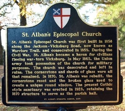
Photographed by Jeff Lovorn, November 29, 2011
1. St. Alban's Episcopal Church Marker
Erected 2011 by St. Alban's Episcopal Church.
Topics. This historical marker is listed in these topic lists: Religion & Religious Structures • War, US Civil. A significant historical month for this entry is May 1863.
Location. 32° 20.949′ N, 90° 44.372′ W. Marker is in Bovina, Mississippi, in Warren County. It is on Warriors Trail, on the right when traveling south. Touch for map. Marker is at or near this postal address: 5930 Warriors Trail, Vicksburg MS 39180, United States
this page online

Regionally, this marker is in Natchez Trace Corridor and in Greater Jackson. It is also in the American South, specifically in the Deep South, in the Mississippi Delta, and in the Great River Road Region. Globally, it is in North America, a Gulf of Mexico state, the Western Hemisphere, the Western World, and the Anglosphere. Historically, it finds itself in what was once New Spain, the territory of the Mississippian Culture, one of the Confederate States of America, and the Antebellum South.
Other nearby markers. At least 8 other markers are within 6 miles of this marker, measured as the crow flies: Vick Graves (approx. 4.7 miles away); Illinois 48th Infantry (approx. 5.7 miles away); Illinois 18th Infantry (approx. 5.7 miles away); Nathan Kimball (approx. 5.7 miles away); U ☆ S Battery E (approx. 5.7 miles away); Wm. Sooy Smith (approx. 5.7 miles away); Robert B. Potter (approx. 5.7 miles away); Illinois 120th Infantry. (approx. 5.7 miles away).
Another marker is no longer nearby. Big Black River Bridge (was approx. 3.6 miles away but has been confirmed missing).
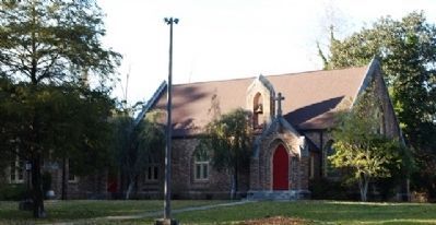
Photographed by Jeff Lovorn, November 29, 2011
2. St. Alban's Episcopal Church
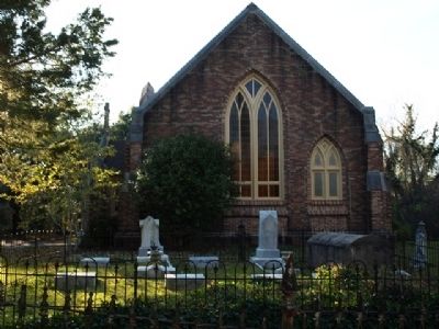
Photographed by Jeff Lovorn, November 29, 2011
3. St. Alban's Episcopal Church
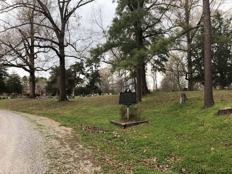
Photographed by Duane and Tracy Marsteller, March 11, 2024
4. St. Alban's Episcopal Church Marker
Credits. This page was last revised on April 7, 2024. It was originally submitted on December 27, 2011, by Jeff Lovorn of Florence, Mississippi. This page has been viewed 1,097 times since then and 50 times this year. Photos: 1, 2, 3. submitted on December 27, 2011, by Jeff Lovorn of Florence, Mississippi. 4. submitted on April 6, 2024, by Duane and Tracy Marsteller of Murfreesboro, Tennessee. • Craig Swain was the editor who published this page.
