Oak Grove in San Diego County, California — The American West (Pacific Coastal)
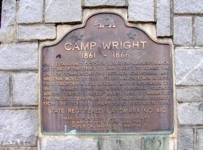
Camp Wright
1861 - 1866
Erected 1953 by San Diego County Board of Supervisots and the Historical Markers Committee. (Marker Number 482.)
Topics and series. This historical marker is listed in these topic lists: Forts and Castles • Notable Places. In addition, it is included in the California Historical Landmarks series list. A significant historical date for this entry is October 18, 1894.
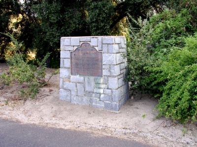
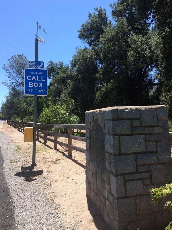
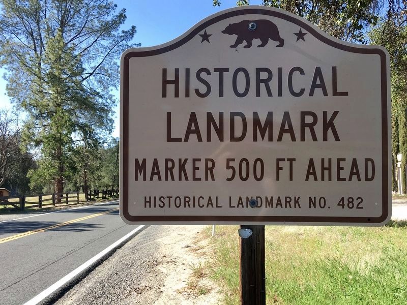
Location. 33° 23.327′ N, 116° 47.618′ W. Marker is in Oak Grove, California, in San Diego County. Marker is on State Highway 79 at milepost 49.3, on the right when traveling south. Touch for map. Marker is at or near this postal address: 37742 California 79, Warner Springs CA 92086, United States of America. Touch for directions.
Other nearby markers. At least 8 other markers are within 13 miles of this marker, measured as the crow flies. Oak Grove Stage Station (about 700 feet away, measured in a direct line); Welcome To Oak Grove Station (approx. 0.2 miles away); U.S. Border Patrol - Theodore L. Newton, Jr. and George F. Azrak (approx. 0.2 miles away); Jacob Bergman (approx. 7 miles away); U.S. Mormon Battalion Trail (approx. 7.3 miles away); Cottonwood School (approx. 9.3 miles away); Warner Ranch House (approx. 12˝ miles away); Dripping Springs Watering Hole (approx. 12.7 miles away).
Also see . . . Camp Wright (Warner's Ranch Camp) (San Diego County). (Submitted on January 15, 2012.)
Credits. This page was last revised on March 14, 2022. It was originally submitted on December 29, 2011, by Michael Kindig of Elk Grove, California. This page has been viewed 797 times since then and 50 times this year. Photos: 1, 2. submitted on December 30, 2011, by Michael Kindig of Elk Grove, California. 3. submitted on February 16, 2022, by Adam Margolis of Mission Viejo, California. 4. submitted on March 14, 2022, by Craig Baker of Sylmar, California. • Syd Whittle was the editor who published this page.


