Carlsbad in San Diego County, California — The American West (Pacific Coastal)
Leo Carrillo Ranch
(Rancho de Los Kiotes)
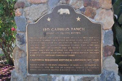
Photographed by Michael Kindig, November 9, 2010
1. Leo Carrillo Ranch Marker
Erected 1996 by State Department of Parks and Recreation, City of Carlsbad, Friends of Carrillo Ranch, and Squibob Chapter E Clampus Vitus. (Marker Number 1020.)
Topics and series. This historical marker is listed in these topic lists: Charity & Public Work • Entertainment • Hispanic Americans. In addition, it is included in the California Historical Landmarks, the E Clampus Vitus, and the Leo Carrillo Ranch Historic Park series lists. A significant historical year for this entry is 1937.
Location. 33° 7.219′ N, 117° 14.2′ W. Marker is in Carlsbad, California, in San Diego County. It can be reached from Flying LC Lane north of
this page online

Regionally, this marker is in the Peninsular Ranges. It is also in the American Borderlands and on the Pacific Coast. Globally, it is in North America, on the Ring of Fire, on the Pacific Rim, in the Western Hemisphere, in the Western World, and in the Anglosphere. Historically, it finds itself in what was once New Spain and also Mexico’s Alta California.
Other nearby markers. At least 8 other markers are within walking distance of this marker: Gateway to a Golden Era (here, next to this marker); The First People (a few steps from this marker); The Old Way In (within shouting distance of this marker); Water is Life (within shouting distance of this marker); Glamour Boys (about 400 feet away, measured in a direct line); Ranch of the Spanish Daggers (about 600 feet away); Saddle Up (about 600 feet away); Pais. Agua. Sol. (about 700 feet away). Touch for a list and map of all markers in Carlsbad.
Also see . . . Leo Carrillo Ranch - with Huell Howser.
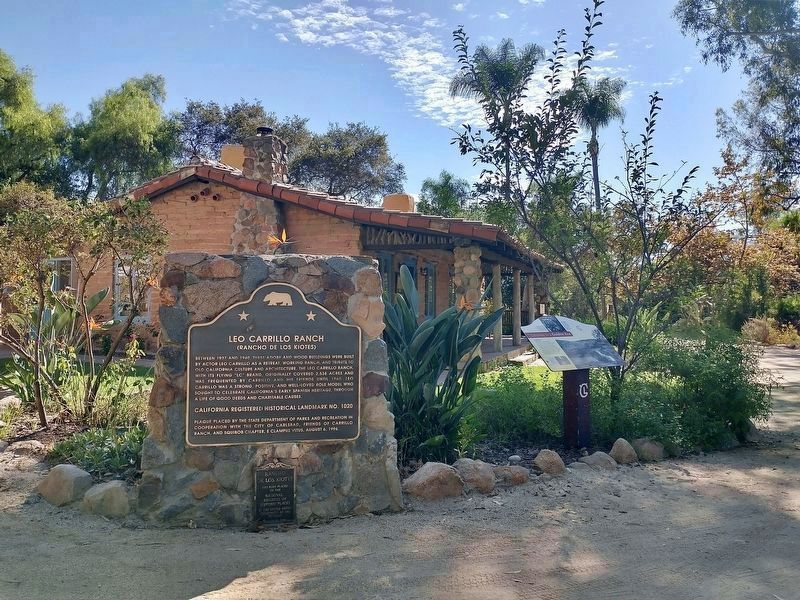
Photographed by Tom Bosse, September 5, 2026
2. Leo Carrillo Ranch Marker
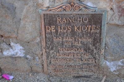
Photographed by Michael Kindig, November 9, 2010
3. Rancho de Los Kiotes
has been placed on the National Register of Historic Places by the United States Department of the Interior.
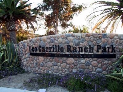
Photographed by Michael Kindig, April 5, 2009
4. Leo Carrillo Ranch Park
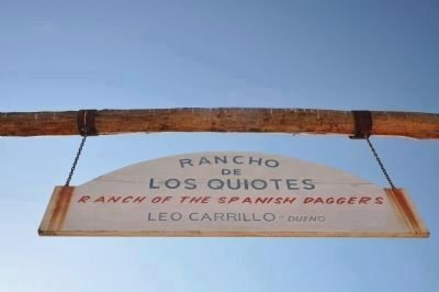
Photographed by Michael Kindig, November 9, 2010
5. Rancho de Los Quiotes
Leo Carrillo - Dueno
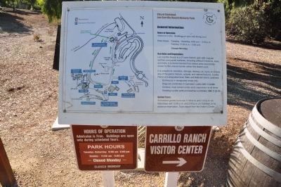
Photographed by Michael Kindig, November 9, 2010
6. Carrillo Ranch Visitor Center
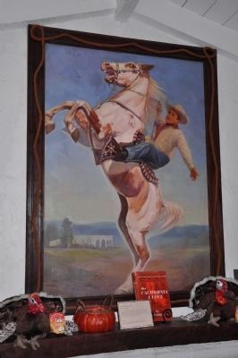
Photographed by Michael Kindig, November 9, 2010
7. Leo Carrillo & Conquistador

Photographed by Michael Kindig, November 9, 2010
8. Leo Carrillo Ranch
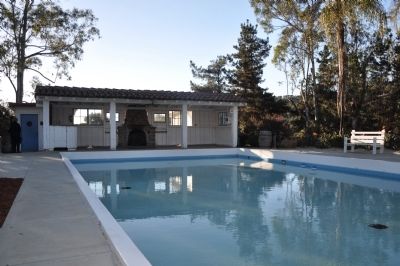
Photographed by Michael Kindig, November 9, 2010
9. Pool and Cabana
Photographed by Michael Kindig, November 9, 2010
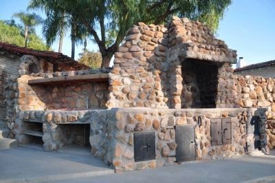
10. BBQ and Grille
Photographed by Michael Kindig, November 9, 2010
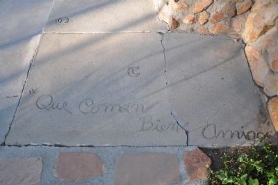
11. Engraved Concrete
Photographed by Michael Kindig, November 9, 2010
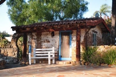
12. Wash House

Photographed by Michael Kindig, November 9, 2010
13. Kelly Marker
Matthew Kelly and the Los Kiotas Ranch 1868-1923.
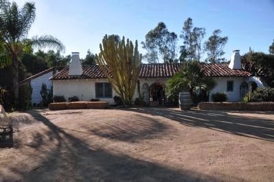
In 1868 Matthew Kelly homesteaded 174.5 acres in this valley creating the Los Kiotas Ranch. In 1882 he built a second two story adobe home on this site. Nearly 60 years later, the four original walls of that house were preserved and incorporated into Leo Carrillo's own Hacienda.
In Memory of Lucia Kelly Sippel 1933-2007.
A fourth-generation Kelly, Lucia was passionate about history and passing her knowledge on to the next generation. She was a devoted docent who was greatly appreciated for her time, talent, and kindness towards others.
In 1868 Matthew Kelly homesteaded 174.5 acres in this valley creating the Los Kiotas Ranch. In 1882 he built a second two story adobe home on this site. Nearly 60 years later, the four original walls of that house were preserved and incorporated into Leo Carrillo's own Hacienda.
In Memory of Lucia Kelly Sippel 1933-2007.
A fourth-generation Kelly, Lucia was passionate about history and passing her knowledge on to the next generation. She was a devoted docent who was greatly appreciated for her time, talent, and kindness towards others.
Photographed by Michael Kindig, November 9, 2010
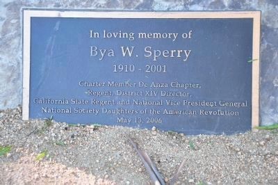
14. Bya W. Sperry Marker
In loving memory of Bya W. Sperry 1910 - 2001,
Charter Member De Anza Chapter,
Regent, District XIV Director,
California State Regent and National Vice President General
National Society Daughters of the American Revolution,
May 13, 2006.
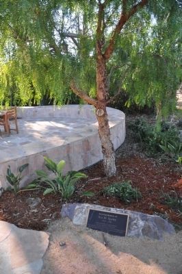
Photographed by Michael Kindig, November 9, 2010
15. Bya W. Sperry Marker
Photographed by Michael Kindig, November 9, 2010
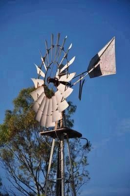
16. Windmill
Photographed by Michael Kindig, November 9, 2010
17. Hacienda (east side)
Photographed by Michael Kindig, November 9, 2010
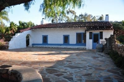
18. Hacienda (north side)
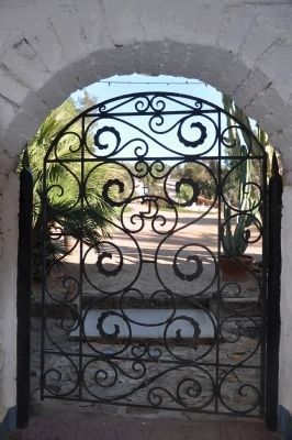
Photographed by Michael Kindig, November 9, 2010
19. Hacienda (east side)
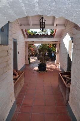
Photographed by Michael Kindig, November 9, 2010
20. Hacienda (east side)
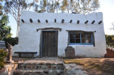
Photographed by Michael Kindig, November 9, 2010
21. Deedie's House
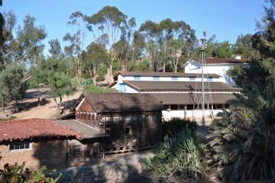
Photographed by Michael Kindig, November 9, 2010
22. Carriage House, Tack Shed, Feed Shed, Stables, and Barn
Photographed by Michael Kindig, November 9, 2010
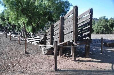
23. Cattle Chute
Photographed by Michael Kindig, November 9, 2010
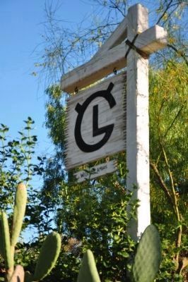
24. Flying "LC" Brand
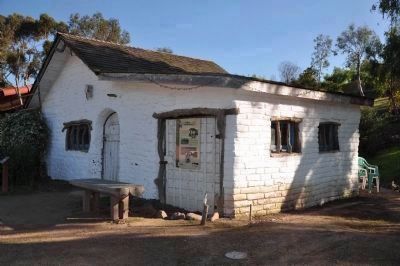
Photographed by Michael Kindig, November 9, 2010
25. Cantina
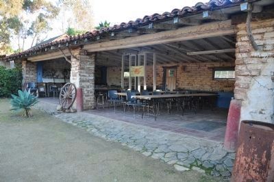
Photographed by Michael Kindig, November 9, 2010
26. Carriage House
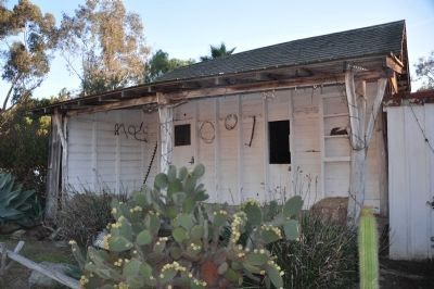
Photographed by Michael Kindig, November 9, 2010
27. Feed Storage
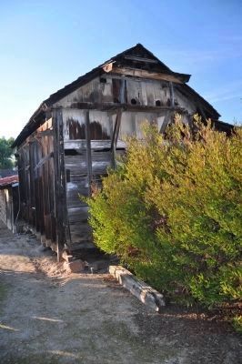
Photographed by Michael Kindig, November 9, 2010
28. Pigeon Roost
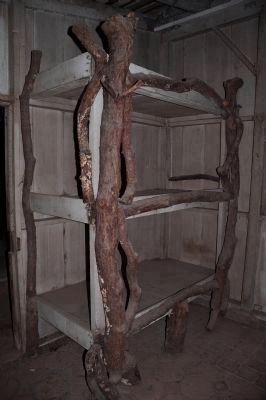
Photographed by Michael Kindig, November 9, 2010
29. Three-tiered Bunk Bed

Photographed by Michael Kindig, November 9, 2010
30. Stables

Photographed by Michael Kindig, November 9, 2010
31. A Home for Conquistador
Click on photo for full-size.
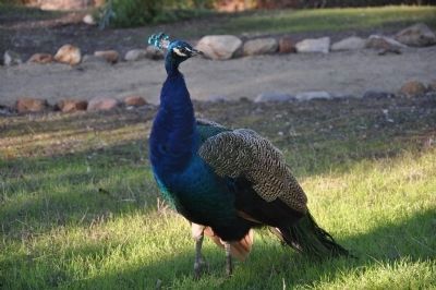
Photographed by Michael Kindig, November 9, 2010
32. Blue Peafowl (Pavo cristatus)
Credits. This page was last revised on October 7, 2026. It was originally submitted on December 29, 2011, by Michael Kindig of Elk Grove, California. This page has been viewed 2,556 times since then and 60 times this year. Photos: 1. submitted on December 30, 2011, by Michael Kindig of Elk Grove, California. 2. submitted on September 27, 2026, by Tom Bosse of Jefferson City, Tennessee. 3, 4, 5. submitted on January 5, 2012, by Michael Kindig of Elk Grove, California. 6, 7. submitted on January 6, 2012, by Michael Kindig of Elk Grove, California. 8. submitted on January 7, 2012, by Michael Kindig of Elk Grove, California. 9, 10. submitted on January 6, 2012, by Michael Kindig of Elk Grove, California. 11. submitted on January 7, 2012, by Michael Kindig of Elk Grove, California. 12, 13, 14, 15, 16. submitted on January 6, 2012, by Michael Kindig of Elk Grove, California. 17. submitted on January 5, 2012, by Michael Kindig of Elk Grove, California. 18. submitted on January 6, 2012, by Michael Kindig of Elk Grove, California. 19, 20. submitted on January 7, 2012, by Michael Kindig of Elk Grove, California. 21, 22. submitted on January 6, 2012, by Michael Kindig of Elk Grove, California. 23. submitted on January 5, 2012, by Michael Kindig of Elk Grove, California. 24. submitted on January 6, 2012, by Michael Kindig of Elk Grove, California. 25. submitted on January 5, 2012, by Michael Kindig of Elk Grove, California. 26, 27, 28, 29. submitted on January 6, 2012, by Michael Kindig of Elk Grove, California. 30. submitted on January 5, 2012, by Michael Kindig of Elk Grove, California. 31, 32. submitted on January 6, 2012, by Michael Kindig of Elk Grove, California. • Syd Whittle was the editor who published this page.
