Fort Davis in Jeff Davis County, Texas — The American South (West South Central)
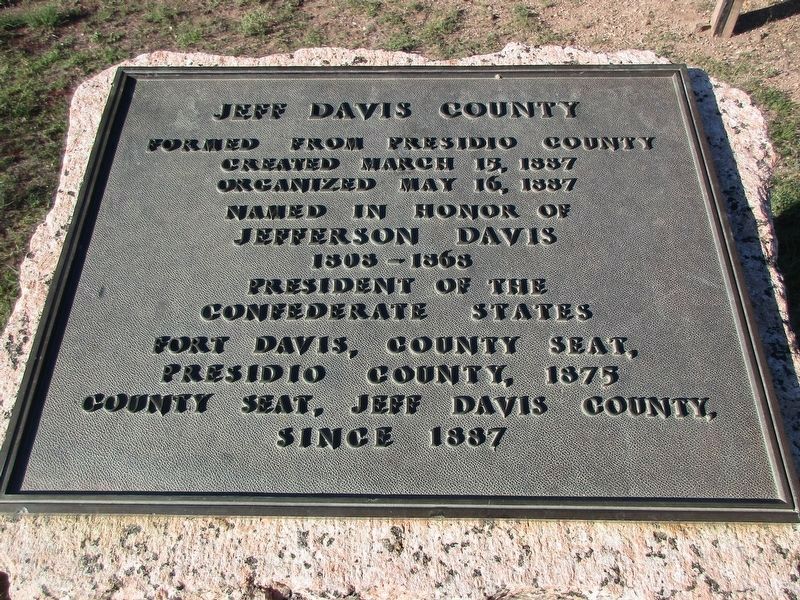
Jeff Davis County
Created March 15, 1887.
Organized May 16, 1887.
Named in honor of Jefferson Davis.
1806-1868.
President of the Confederate States.
Fort Davis, County Seat,
Presidio County, 1875.
County Seat, Jeff Davis County,
since 1887.
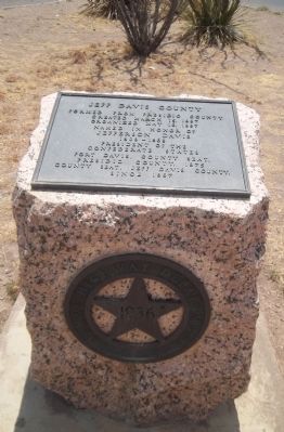
Erected 1936 by Texas Highway Department. (Marker Number 10475.)
Topics and series. This historical marker is listed in these topic lists: Patriots & Patriotism • Settlements & Settlers • War, US Civil. In addition, it is included in the Texas 1936 Centennial Markers and Monuments series list. A significant historical date for this entry is March 15, 1218.
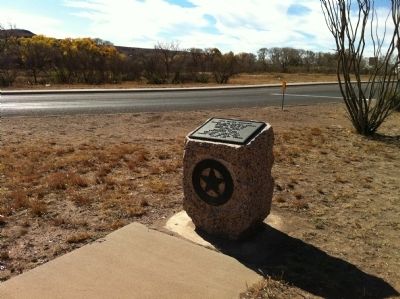
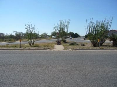
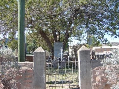
Location. 30° 35.249′ N, 103° 53.677′ W. Marker is in Fort Davis, Texas, in Jeff Davis County. Marker is at the intersection of State Street (State Highway 17) and Musquiz Dr. (State Highway 118), in the median on State Street. The 3x2 foot block of Texas marble (or pink granite) is less than two blocks south of the Jeff Davis county courthouse. Touch for map. Marker is in this post office area: Fort Davis TX 79734, United States of America. Touch for directions.
Other nearby markers. At least 8 other markers are within walking distance of this marker. Jeff Davis County Jail (within shouting distance of this marker); Confederate President Jefferson Davis (about 300 feet away, measured in a direct line); Fort Davis United Methodist Church (about 400 feet away); Jeff Davis County Courthouse (about 400 feet away); T/SGT. Manuel S. Gonzales (about 500 feet away); Old Fort Davis CSA (about 500 feet away); Hometown Heroes (about 500 feet away); Memorial Square (about 500 feet away). Touch for a list and map of all markers in Fort Davis.
More about this marker. Located at the crossroads of State Highway 17 driving from downtown Fort Davis or Marfa and 118 from Alpine,TX.
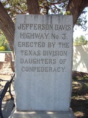
Regarding Jeff Davis County. No other place bears as much recognition toward President Davis than Jeff Davis County, TX. The city and historic site of Fort Davis were named for the Mississippian before his presidency; the nearby mountain range and county named afterwards. As a matter of fact, this marker's location, State Highway 17 was also named for him, Jefferson Davis Highway Number 3. In Fort Davis there are four monument-markers including this one in honor of the Confederate forefather.
Credits. This page was last revised on October 18, 2023. It was originally submitted on January 10, 2012, by Zacharias Beau T of Alpine, Texas. This page has been viewed 699 times since then and 26 times this year. Photos: 1. submitted on October 17, 2023, by Jeff Leichsenring of Garland, Texas. 2, 3. submitted on January 10, 2012, by Zacharias Beau T of Alpine, Texas. 4, 5, 6. submitted on November 16, 2012, by Bill Kirchner of Tucson, Arizona. • Craig Swain was the editor who published this page.
