Stoneboro in Lancaster County, South Carolina — The American South (South Atlantic)
Stoneboro

Photographed by Ronald Patton, August 28, 2023
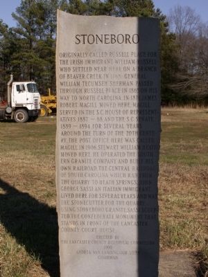
1. Stoneboro Marker
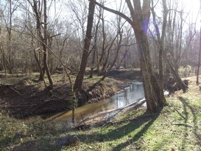
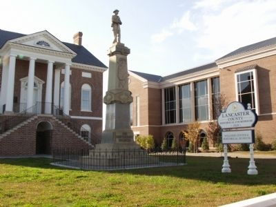
Originally called Russell Place for the Irish immigrant William Russell who settled near here on a branch of Beaver Creek in 1768. General William Tecumseh Sherman passed through Russell Place in 1865 on his way to North Carolina. In 1871 James Robert Magill moved here. Magill served in the S.C. House of Representatives 1887 ~ 88, and the S.C. Senate, 1889 ~ 1894. For several years around the turn of the 20th Century, the post office here was called Magill. In 1906, Stewart William Heath moved here. He operated the Southern Granite Company and built his own railroad. The Central Railroad of South Carolina, which ran from the quarry to Heath Springs. John George Sassi, an Italian immigrant, lived here for several years and was the stonecutter for the quarry, using Stoneboro Granite, Sassi sculpted the confederate monument that stands in front of the Lancaster County Court House.
Erected 1990 by The Lancaster County Historical Commission, Andrea Van Landingham Steen, Chairman.
Topics. This historical marker is listed in these topic lists: Industry & Commerce • Railroads & Streetcars • Settlements & Settlers
this page online
Location. 34° 32.395′ N, 80° 44.213′ W. Marker is in Stoneboro, South Carolina, in Lancaster County. It is at the intersection of Twitty Mill Road and 522, on the right when traveling west on Twitty Mill Road. Touch for map. Marker is in this post office area: Heath Springs SC 29058, United States of America. Touch for directions.

Regionally, this marker is in the Midlands and in the Olde English District. It is also in the American South and specifically in the Deep South. Globally, it is in North America, the Western Hemisphere, the Western World, and the Anglosphere. Historically, it finds itself in what was once the territory of the Mississippian Culture, one of the original Thirteen Colonies, one of the Confederate States of America, and the Antebellum South.
Other nearby markers. At least 8 other markers are within 6 miles of this marker, measured as the crow flies: Warrenton Muster Ground (approx. 2.4 miles away); Revolutionary War Patriots (approx. 4 miles away); James Ingram Home (approx. 4.1 miles away); Birthplace of James Marion Sims, M.D.
Photographed by Anna Inbody, January 14, 2012
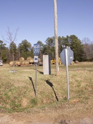
2. Stoneboro Marker
Photographed by Anna Inbody, January 14, 2012
3. Stoneboro Marker
Photographed by Anna Inbody, January 14, 2012
4. Beaver Creek, mentioned on the marker
Photographed by Anna Inbody, November 8, 2011
5. Lancaster County Courthouse Confederate Monument
Credits. This page was last revised on February 21, 2025. It was originally submitted on January 15, 2012, by Anna Inbody of Columbia, South Carolina. This page has been viewed 3,552 times since then and 123 times this year. Photos: 1. submitted on February 21, 2025, by Ronald Patton of Lancaster, South Carolina. 2, 3, 4, 5. submitted on January 15, 2012, by Anna Inbody of Columbia, South Carolina. • Craig Swain was the editor who published this page.
