Lookout Mountain in Hamilton County, Tennessee — The American South (East South Central)
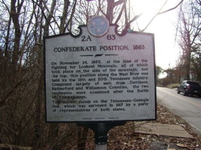
Confederate Position, 1863
On November 24, 1863, at the time of the fighting for Lookout Mountain, all of which took place on the side of the mountain, not the top, this position along the West Brow was held by the 18th and 20th Tennessee Infantry. Composed largely of men from Davidson, Rutherford and Williamson Counties, the two regiments were combined after the Battle of Chickamauga.
This marker stands on the Tennessee-Georgia line, which was surveyed in 1817 by a party of representatives of both states.
Erected by Tennessee Historical Commission. (Marker Number 2A 63.)
Topics and series. This historical marker is listed in this topic list: War, US Civil. In addition, it is included in the Tennessee Historical Commission series list. A significant historical month for this entry is November 1936.
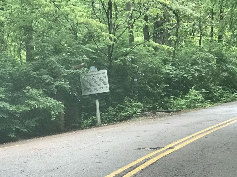
Location. 34° 59.024′ N, 85° 21.65′ W. Marker is in Lookout Mountain, Tennessee, in Hamilton County. Marker is on Stephenson Avenue. Touch for map. Marker is at or near this postal address: 285 - 299 Stephenson Avenue, Lookout Mountain TN 37350, United States of America. Touch for directions.
Other nearby markers. At least 8 other markers are within 2 miles of this marker, measured as the crow flies. Federal Entrenchments (approx. 0.4 miles away); Lookout Mountain Educational Institute (approx. ¾ mile away); Do You See 7 States? (approx. one mile away in Georgia); See Seven States (approx. one mile away in Georgia); Spiritualist Camp Ground (approx. 1.1 miles away); Sunset Rock (approx. 1.2 miles away); The University of The South (approx. 1.2 miles away); Summertown (approx. 1.3 miles away). Touch for a list and map of all markers in Lookout Mountain.
Credits. This page was last revised on May 27, 2020. It was originally submitted on January 17, 2012, by Judith Barber of Marietta, Georgia. This page has been viewed 787 times since then and 17 times this year. Photos: 1. submitted on January 17, 2012, by Judith Barber of Marietta, Georgia. 2. submitted on May 26, 2020, by Duane and Tracy Marsteller of Murfreesboro, Tennessee. • Craig Swain was the editor who published this page.

