Winston-Salem in Forsyth County, North Carolina — The American South (South Atlantic)
Salem Town Hall
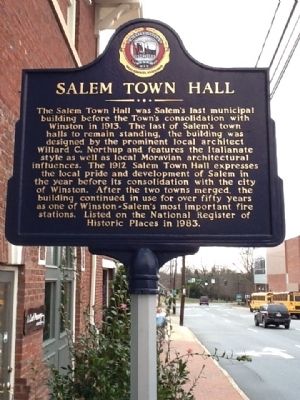
Photographed by Michael C. Wilcox, January 17, 2012
1. Salem Town Hall Marker
Erected 2006 by Winston-Salem Historic Marker Program.
Topics. This historical marker is listed in these topic lists: Government & Politics • Man-Made Features. A significant historical year for this entry is 1913.
Location. 36° 5.52′ N, 80° 14.64′ W. Marker is in Winston-Salem, North Carolina, in Forsyth County. It is at the intersection of South Liberty Street and Cemetery Street, on the left on South Liberty Street. Touch for map. Marker is in this post office area:
this page online

Regionally, this marker is in North Carolina’s Piedmont and specifically in Piedmont Triad. It is also in the American South and specifically in the Upper South. Globally, it is in North America, the Western Hemisphere, the Western World, and the Anglosphere. Historically, it finds itself in what was once the territory of the Mississippian Culture, one of the original Thirteen Colonies, one of the Confederate States of America, and the Antebellum South.
Other nearby markers. At least 8 other markers are within walking distance of this marker: Builders' House (about 400 feet away, measured in a direct line); Builders’ House Lighting Project (about 400 feet away); N.C. Federation of Women's Clubs (about 400 feet away); R. J. Reynolds (about 400 feet away); The Plank Road Comes to Salem (about 500 feet away); The Mickey Coffee Pot (about 500 feet away); Salem Moravian Graveyard (about 600 feet away); a different marker also named Salem Moravian Graveyard (about 600 feet away). Touch for a list and map of all markers in Winston-Salem.
Related marker.
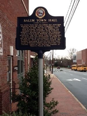
Photographed by Michael C. Wilcox, January 17, 2012
2. Salem Town Hall Marker
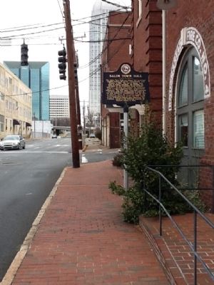
Photographed by Michael C. Wilcox, January 17, 2012
3. Salem Town Hall Marker
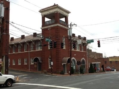
Photographed by Michael C. Wilcox, January 17, 2012
4. Salem Town Hall Marker
Credits. This page was last revised on March 23, 2021. It was originally submitted on January 17, 2012, by Michael C. Wilcox of Winston-Salem, North Carolina. This page has been viewed 919 times since then and 43 times this year. Photos: 1, 2, 3, 4. submitted on January 17, 2012, by Michael C. Wilcox of Winston-Salem, North Carolina. • Craig Swain was the editor who published this page.
