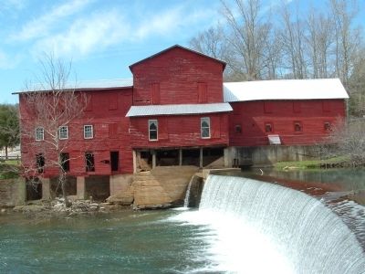
Hurricane Mills in Humphreys County, Tennessee — The American South (East South Central)
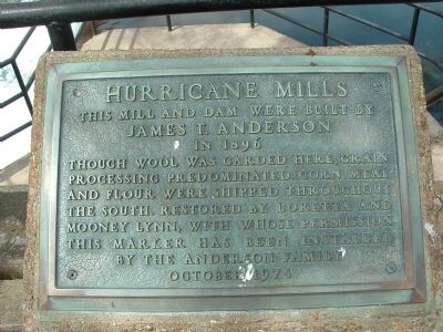
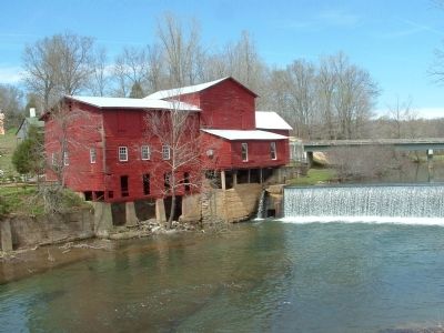
Hurricane Mills
James T. Anderson
in 1896
Though wool was carded here, grain processing predominated. Corn meal and flour were shipped throughout the south. Restored by Loretta and Mooney Lynn, with whose permission this marker has been installed by The Anderson Family.
Erected 1974 by The Anderson Family.
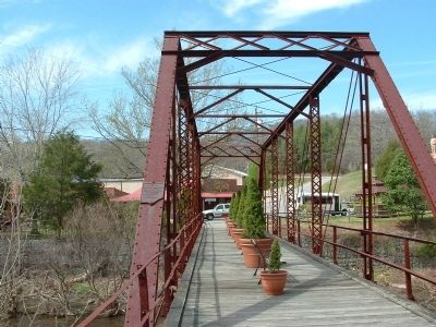
Topics. This historical marker is listed in these topic lists: Agriculture • Bridges & Viaducts • Settlements & Settlers. A significant historical year for this entry is 1896.
Location. 35° 58.246′ N, 87° 46.858′ W. Marker is in Hurricane Mills, Tennessee, in Humphreys County. Marker is on Hurricane Mills Road (County Route 1796) east of Old Tennessee Route 13, on the left when traveling east. Touch for map. Marker is at or near this postal address: 44 Hurricane Mills Road, Hurricane Mills TN 37078, United States of America. Touch for directions.
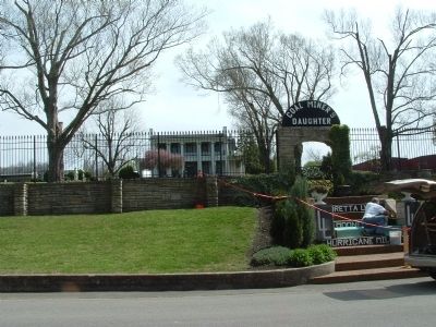
Other nearby markers. At least 8 other markers are within 8 miles of this marker, measured as the crow flies. A different marker also named Hurricane Mills (within shouting distance of this marker); Home Place of Loretta Lynn (about 300 feet away, measured in a direct line); Hattie Wyatt Caraway (approx. 5.6 miles away); Captain William Robert Anderson (approx. 5.6 miles away); Fort Hill at Waverly (approx. 7.7 miles away); Fort Waverly (approx. 7.7 miles away); Welcome to Fort Waverly & The Humphreys County and Civil War Museum (approx. 7.7 miles away); The Butterfield House (approx. 7.7 miles away). Touch for a list and map of all markers in Hurricane Mills.
Credits. This page was last revised on June 16, 2016. It was originally submitted on January 19, 2012, by Ken Smith of Milan, Tennessee. This page has been viewed 1,210 times since then and 39 times this year. Photos: 1, 2, 3, 4, 5. submitted on January 19, 2012, by Ken Smith of Milan, Tennessee. • Bernard Fisher was the editor who published this page.
