Beaverdam in Hanover County, Virginia — The American South (Mid-Atlantic)
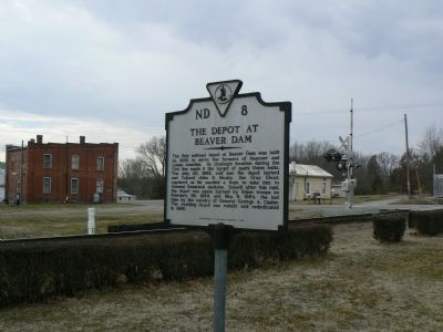
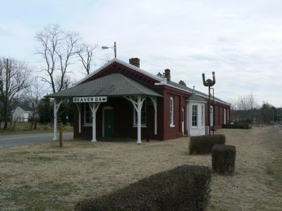
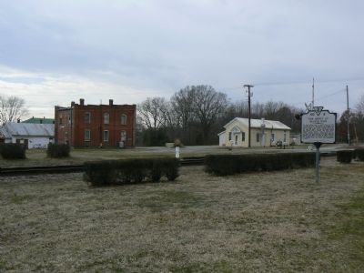
The Depot at Beaver Dam
Erected 1990 by Department of Historic Resources. (Marker Number ND-8.)
Topics and series. This historical marker is listed in these topic lists: Agriculture • Railroads & Streetcars • War, US Civil. In addition, it is included in the Virginia Department of Historic Resources (DHR) series list. A significant historical date for this entry is February 29, 1864.
Location. 37° 56.499′ N, 77° 39.273′ W. Marker is in Beaverdam, Virginia, in Hanover County. Marker is on Beaverdam School Road (County Route 739) 0.1 miles Beaverdam Road, on the left when traveling west. Touch for map. Marker is in this post office area: Beaverdam VA 23015, United States of America. Touch for directions.
Other nearby markers. At least 8 other markers are within 9 miles of this marker, measured as the crow flies. Beaver Dam School (approx. 0.9 miles away); Bumpass (approx. 4.8 miles away); William Clark Birthplace (approx. 5.6 miles away); Jerdone Castle (approx. 6.8 miles away); Scotchtown (approx. 7.7 miles away); Cedar Creek Quaker Meeting House (approx. 8.3 miles away); Sycamore Tavern (approx. 8.4 miles away); a different marker also named Scotchtown (approx. 8˝ miles away). Touch for a list and map of all markers in Beaverdam.
Also see . . . Beaverdam Depot. Wikipedia article. (Submitted on July 29, 2014, by Jeff Conner of Norfolk, Virginia.)
Additional keywords. John S. Mosby, guerrilla, George A. Custer.
Credits. This page was last revised on June 16, 2016. It was originally submitted on February 5, 2008, by Franklin Bell of Bluemont, Virginia. This page has been viewed 2,156 times since then and 79 times this year. Photos: 1, 2, 3. submitted on February 5, 2008, by Franklin Bell of Bluemont, Virginia. • Craig Swain was the editor who published this page.


