
Winston-Salem in Forsyth County, North Carolina — The American South (South Atlantic)
Friedberg Church
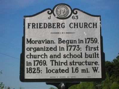
Photographed by Michael C. Wilcox, April 13, 2012
1. Friedberg Church Marker
Erected by NC Division of Archives and History. (Marker Number J-63.)
Topics and series. This historical marker is listed in these topic lists: Colonial Era • Religion & Religious Structures • Settlements & Settlers. In addition, it is included in the North Carolina Division of Archives and History series list. A significant historical year for this entry is 1759.
Location. 35° 59.879′ N, 80° 15.965′ W. Marker is in Winston-Salem, North Carolina, in Forsyth County. It is at the intersection of Peters Creek Parkway (U.S. 150) and Friedberg Church Road, on the right when traveling south on Peters Creek Parkway. Touch for map. Marker is in this post office area: Winston Salem NC 27103, United States of America. Touch for directions.

Regionally, this marker is in North Carolina’s Piedmont and specifically in Piedmont Triad. It is also in the American South and specifically in the Upper South. Globally, it is in North America, the Western Hemisphere, the Western World, and
this page online
Other nearby markers. At least 8 other markers are within 6 miles of this marker, measured as the crow flies: George Washington Stopped Here (approx. 2.4 miles away); Fraternity Church of the Brethren (approx. 4.8 miles away); Easton Neighborhood (approx. 4.8 miles away); Colored Baptist Orphanage Home (approx. 5.1 miles away); The Cicero Francis Lowe House (approx. 5.4 miles away); Wachovia Tract (approx. 5.4 miles away); Daniel Boone Trail (approx. 5½ miles away); Waughtown Freedmen's School (approx. 5.6 miles away). Touch for a list and map of all markers in Winston-Salem.
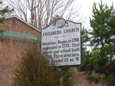
Photographed by Michael C. Wilcox, January 22, 2012
2. Friedberg Church Marker
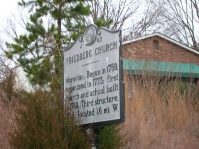
Photographed by Michael C. Wilcox, January 22, 2012
3. Friedberg Church Marker
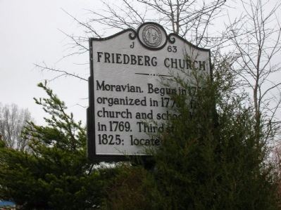
Photographed by Michael C. Wilcox, January 22, 2012
4. Friedberg Church Marker
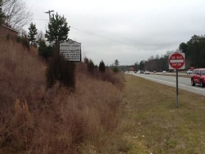
Photographed by Michael C. Wilcox, January 22, 2012
5. Friedberg Church Marker
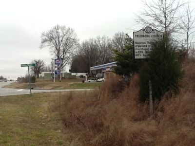
Photographed by Michael C. Wilcox, January 22, 2012
6. Friedberg Church Marker
Credits. This page was last revised on March 23, 2021. It was originally submitted on January 22, 2012, by Michael C. Wilcox of Winston-Salem, North Carolina. This page has been viewed 687 times since then and 21 times this year. Photos: 1. submitted on April 13, 2012, by Michael C. Wilcox of Winston-Salem, North Carolina. 2, 3, 4, 5, 6. submitted on January 22, 2012, by Michael C. Wilcox of Winston-Salem, North Carolina. • Craig Swain was the editor who published this page.
