Point Judith in Narragansett in Washington County, Rhode Island — The American Northeast (New England)
Point Judith Light House
Photographed by Mike Wintermantel, September 19, 2005
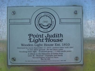
1. Point Judith Light House Marker
Wooden Light House Established 1810
Destroyed by storm September 17, 1815 / present tower built 1857
51 feet above ground - 65 feet above water
Occulting white light - 15 second group / 17,300 candle power
A tribute to the fishermen of Galilee from
Leon M. "Brownie" Champlin and family.
National Register of Historic Places
May 30, 1988
Erected 1978 by Narragansett Historical Society.
Topics and series. This historical marker is listed in these topic lists: Communications • Waterways & Vessels. In addition, it is included in the Lighthouses series list. A significant historical month for this entry is May 1930.
Location. 41° 21.693′ N, 71° 28.873′ W. Marker is in Narragansett, Rhode Island, in Washington County. It is in Point Judith. It is on Ocean Road (Rhode Island Route 108). Located on the Coast Guard Base in Point Judith. Touch for map. Marker is at or near this postal address: 1470 Ocean Rd, Narragansett RI 02882, United States of America. Touch for directions.

Regionally, this marker is on Narragansett Bay and in South County. It is also in the American Northeast, in New England, and on the Eastern
this page online
Other nearby markers. At least 8 other markers are within 2 miles of this marker, measured as the crow flies: The S.S. Black Point (within shouting distance of this marker); Galilee: A Working Waterfront (approx. 1.9 miles away); From Trawl to Table (approx. 2 miles away); Growth and Its Limits (approx. 2 miles away); From Fishing Village to Fishing Port (approx. 2 miles away); A Model of Innovation (approx. 2 miles away); In It for the Long Haul (approx. 2 miles away); From Trap to Table (approx. 2 miles away). Touch for a list and map of all markers in Narragansett.
Also see . . .
1. Point Judith Light. Wikipedia entry:
Links to National Register of Historic Places Nomination Form (Submitted on November 10, 2025, by Larry Gertner of New York, New York.)
2. Point Judith Lighthouse. Lighthousefriends.com (Submitted on January 23, 2012, by Mike Wintermantel of Pittsburgh, Pennsylvania.)
Photographed by Mike Wintermantel, September 19, 2005
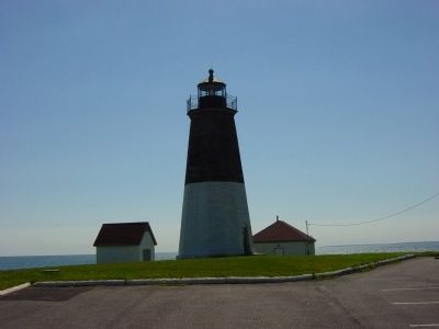
2. Point Judith Lighthouse
Photographed by Mike Wintermantel, September 19, 2005
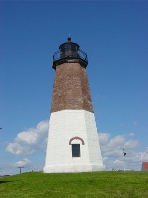
3. Point Judith Lighthouse
Photographed by Mike Wintermantel, September 19, 2005
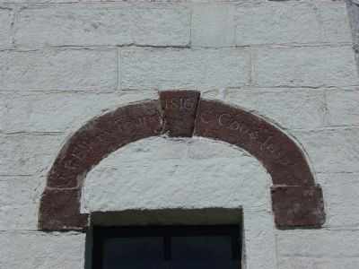
4. Point Judith Light House Keystone
Photographed by Mike Wintermantel, September 19, 2005
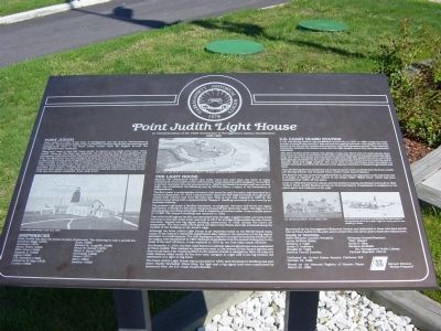
5. Point Judith Light House Interpretive Sign
Credits. This page was last revised on November 10, 2025. It was originally submitted on January 23, 2012, by Mike Wintermantel of Pittsburgh, Pennsylvania. This page has been viewed 1,105 times since then and 31 times this year. Photos: 1, 2, 3, 4, 5. submitted on January 23, 2012, by Mike Wintermantel of Pittsburgh, Pennsylvania.
